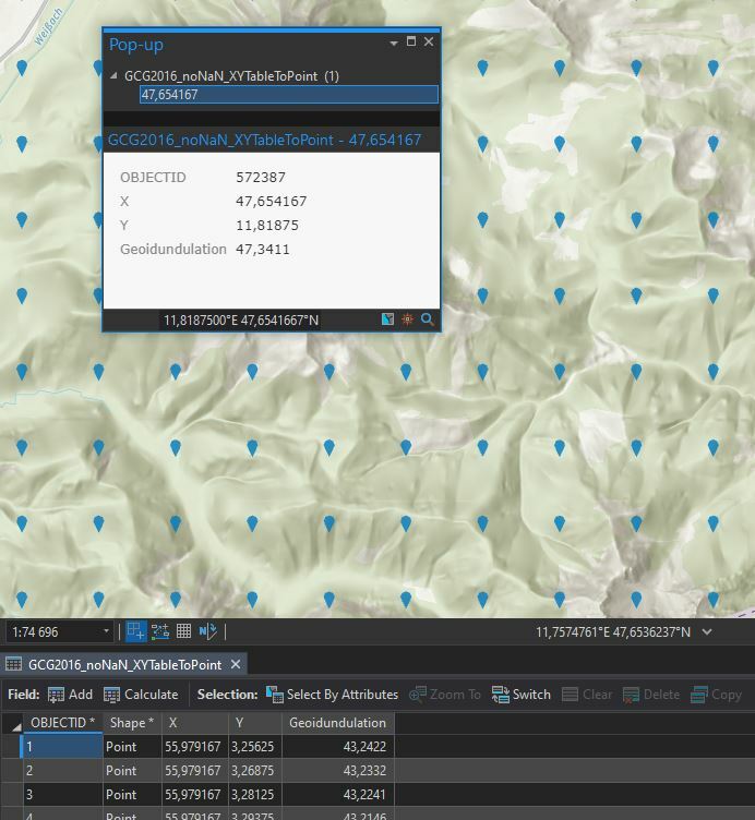
We are looking into more low cost GNSS rover devices which unfortunately only measure ellipsoidal heights. To use those for mapping applications, we have to post-process those heights to receive orthometric heights (MSL). I have now received an official ascii grid file with the geoid undulation values. The distance between each point feature is between approx. 750 and 900 m:
 Would it be a viable approach to correct the height from ellips. heights to MSL by performing a nearest feature search (with the NeighborFinder
transformer) and then subtract the geoid undulation from the ellips. heights? And if this is a viable way to do so in order to get proper MSL heights, would it be smarter to rasterize the grid first in order to increase the performance (ultimately this should end up in a FME Server webhook upon submitted survey from ArcGIS Survey123 or ArcGIS Collector). What would be a suitable raster size if point spacing varies between 750 and 900 m?


