Hey everyone. I have 3 road datasets I am working with. One point, one line and one polygon. I need to join these three datasets. The point data is set so that each point is about 100m from one another. I can manage to merge all the data but now I need to create a perpendicular line through my points to create segments of my road data.
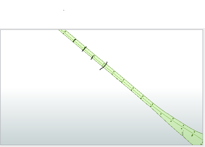
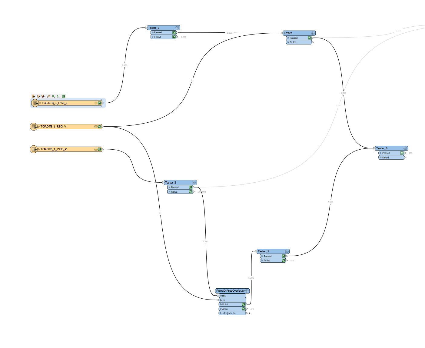
This is how I need to divide my roadsThis is just the logic i used to merge and filter my data

Hey @ivanvdn94​ take a look at this other community post which has some explanation on how to do the same: https://community.safe.com/s/question/0D54Q000080hWRhSAM/creating-a-line-between-two-nearest-points

You'll likely want to find the nearest point to each point using the NeighborFinder and then use a VertexCreator to create the line feature from the two points.


I guess there are multiple ways of solving this, here's one suggestion:


1 - If you want to segment the data at fixed intervals along the line you can divide the line with a Chopper (Mode: By Length).

2 - If you create a topology of this with TopologyBuilder you get a direction angle of the line in each node.

3 - Use the Offsetter to create points at a suitable distance from the line at a right angle.

4 - Use LineBuilder (grouped by node ID) to create the perpendicular lines


Reply