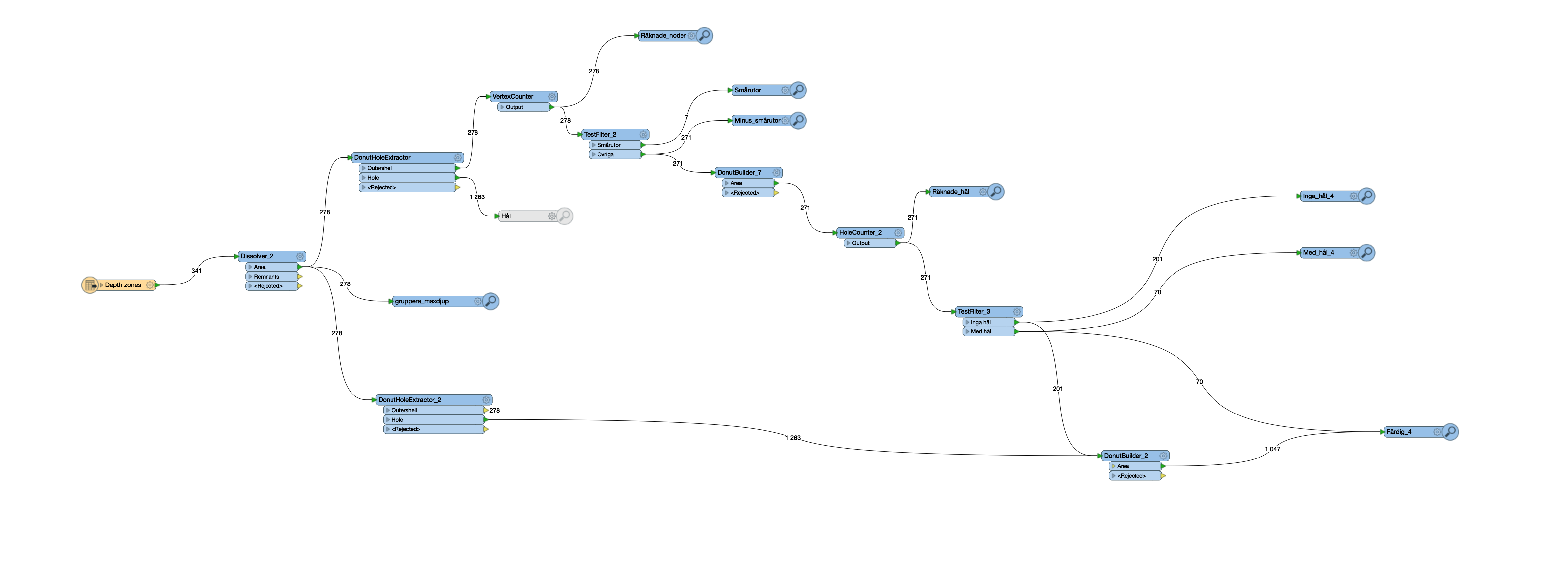
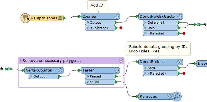
I have a dataset with various depth zones that I am trying to process by running a DonutHoleExtractor, then removing some of the polygons that I don’t want based on certain rules and lastly rebuilding it all with a DonutBuilder. This works fine for the depth zones but some of the areas that are land, white in the maps below, get turned into depth zones. This is not surprising, but I would like to find a workaround. I looked at using the holes from the DHExtractor to punch holes in the last step, but the ”land holes” get the attribute data from their surrounding depth zone, so I have not found a way to single them out.
Any ideas to how exlude certain areas when extracting donuts? Or maybe you have a better idea for a workaround?
Please note that this is a follow up question to, https://knowledge.safe.com/questions/81896/selecting-square-ish-donuts.html
The brown map is the original data and the green one is after DonutHoleExtractor