Hello!
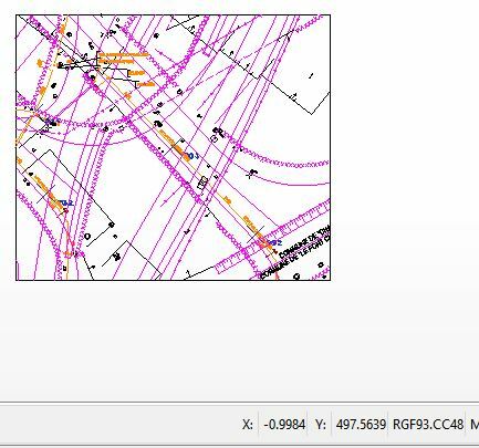
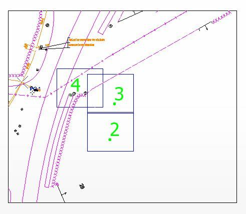
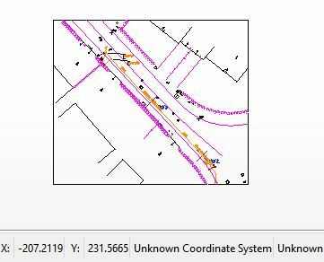
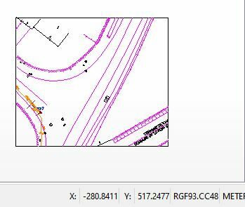
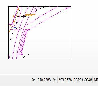
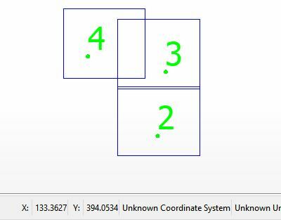
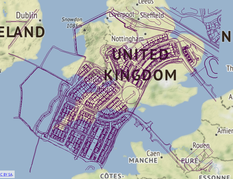
I have a challenging work to do. I have 3 differents vectors data (DataVector1, DataVector2 and DataVector3 ) which i've extracted from a pdf file. And, I have also from the same pdf file, the location of the three Datavectors (boundaries). The boundaries is also a vector data that i've extracted from the pdf. However, the boundaries boxes are smaller compared to the limit boundaries of the Datavectors.
Now, I need to scale and shift all my 3 Datavectors into the boundaries boxes. How can i do this ? knowing that the coordinates are in local values ( fake coordinates from PDF). After that, I'll do a manual georeferencing, since I know real coordinates of 3 points over the whole 3 Datavectors.
Anybody, have some hints ?
Thank you in advance !