Hi @petar3bursac,
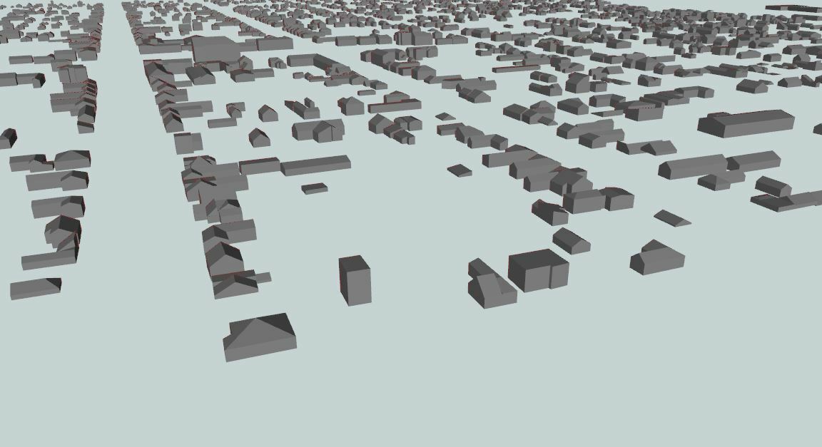
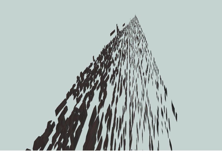
EPSG:4326 is a lat/long coordinate system. Converting into this will change the X and Y units to degrees, but leaves the X units as meters. Since the Data Inspector does not reproject the data in the 3D view, the lat/long data will look very distorted.
If you convert to EPSG:3857, which has X,Y and Z in meters, the output should look better.
Hi
@DaveAtSafe,
Thank you! I understand. I have one more question, please. I use CoordinateExtractor, extract x,y,z coordinates from citygml file to one shapefile, and that shp file in one GIS software open,modify and do coordinate transformation. Now i have all my coordinates in one csv file in three columns, which is ordered in same way like i get from CoordinateExtractor. My question is how to specify in CoordinateReplacer in field for x, y, z coordinate for input (citygml file) that i want to replace with my columns from csv file? I try Find:@YValue(1)? Thank you!
Hi @petar3bursac
That process will only work for point features, I'm afraid. The CoordinateExtractor only returns a single coordinate, even from complex surface geometries like those in CityGML, so you are losing most of the geometry information.
FME has a number of transformers that you can use to do the desired coordinate transformation. As well as the CsmapReprojector, there are the 3DAffiner, Scaler, Offsetter and Rotator transformers.