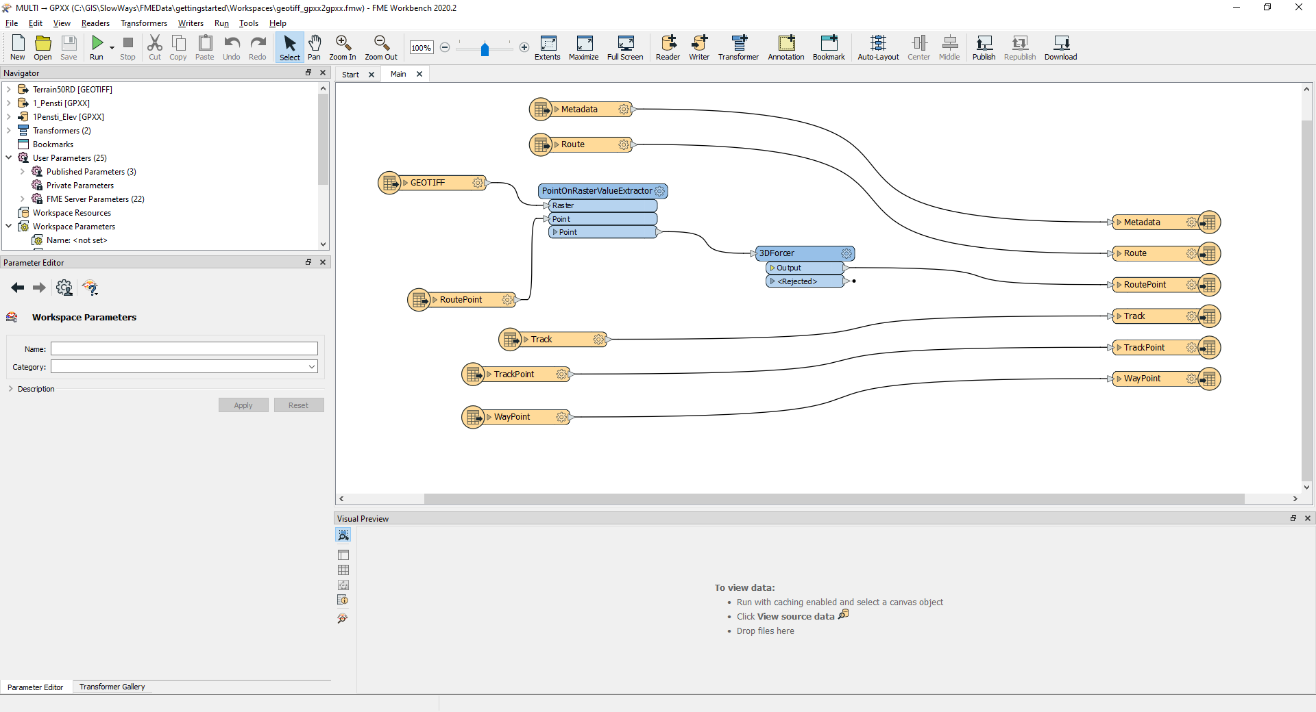
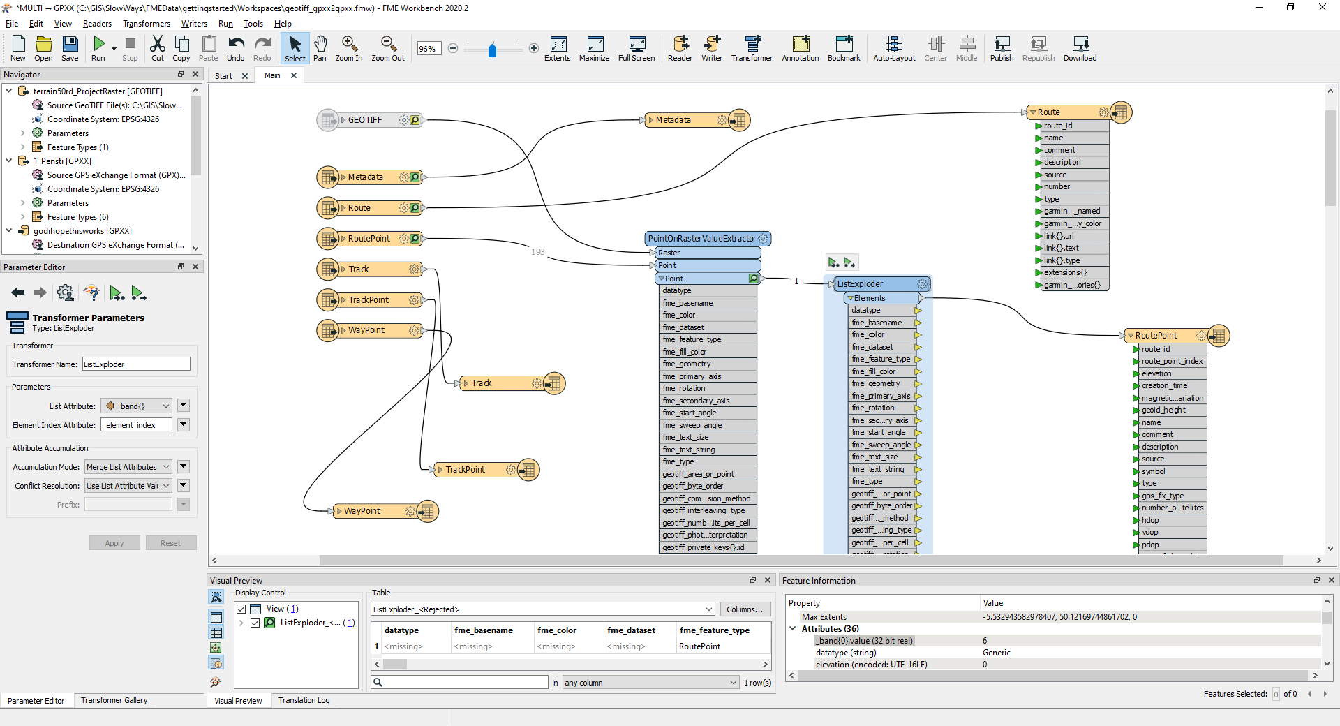
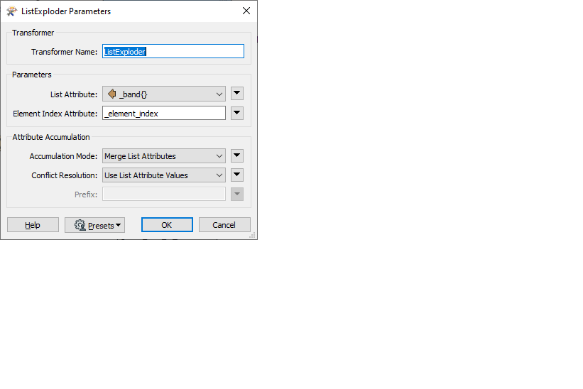
I would really appreciate some help with the process I am trying to write.
I have a shapefile of routes, I need to create a GPX file for each route. However what I am stuck on is why the 'elevation' tag in the GPX is blank and I need to fix this. I assume I can use PointOnRasterValueExtractor
with the Terrain50Raster which I have in a raster GRID file?
The routes will change so I need the process to be repeatable on a regular basis hence why I am trying to do it the 'correct' way.
Many thanks


 Help very gratefully received, I have made sure that both the GeoTIFF and the Shapefile that was used to creae the GPX are both in WGS84 (EPSG4326)
