


Hi All,
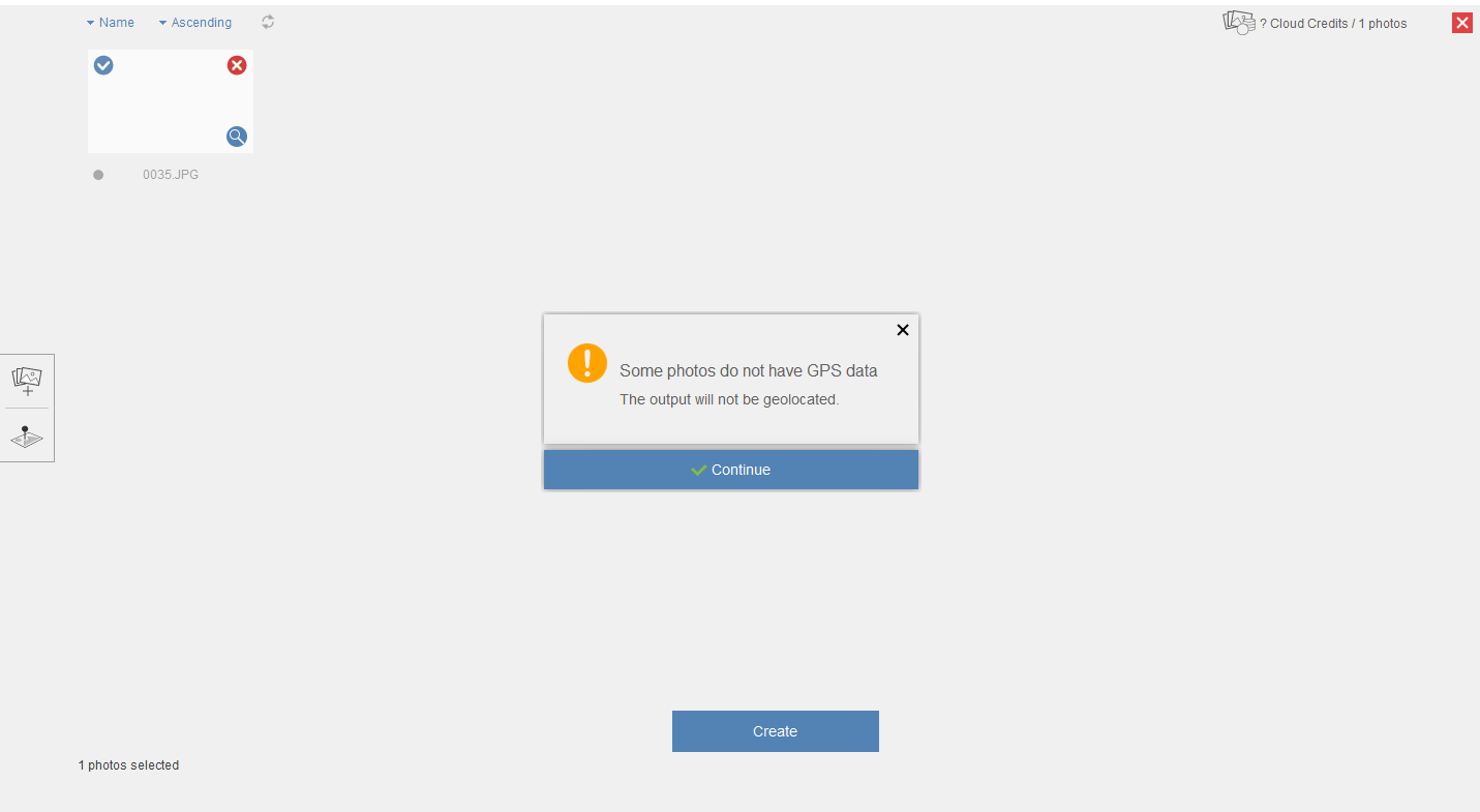
Did anyone use FME Workbench converting TIF with TFW files into JPEG format with GPS data embedded?
I am hoping to use Autodesk ReCap to process the raw stereo imagery, but I only have them in TIF format with TFW files.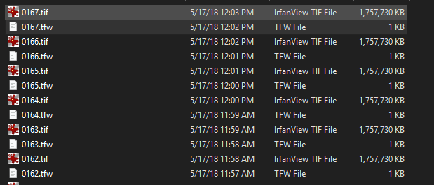
Autodesk ReCap Photo
Please help, really appreciate!
Thanks,
Reno
")
