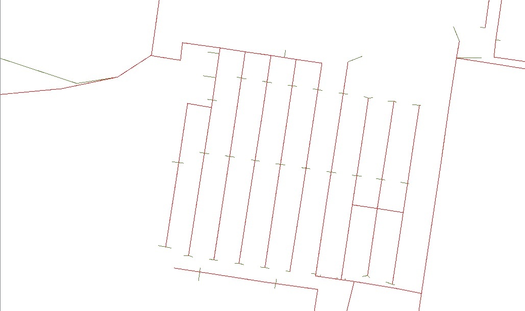
Hello, I wanna compare four data sources - two are point shapefiles and two are line shapefiles. How could I get result which contain number of overlay features etc.? I just care only about overlay of data, I dont wanna to compare lenght of lines... Does anybody any tips please?

Thank You so much!

Your description is a bit thin on the ground when it comes to detail, but I'd suggest a starting point would be to search for the Transformers with the word "overlayer" in their name. There are several such as the PointOnLineOverlayer that may give you a starting point. That said you 'may' need to consider using the AnchoredSnapper prior to this analysis.


Do as @1spatialdave says, or you could buffer the lines first to find points with X distance. Check out our tutorial on common GIS operations and FME.


Your description is a bit thin on the ground when it comes to detail, but I'd suggest a starting point would be to search for the Transformers with the word "overlayer" in their name. There are several such as the PointOnLineOverlayer that may give you a starting point. That said you 'may' need to consider using the AnchoredSnapper prior to this analysis.


Please check pic above, I need to find out how much of red geometry is the same as the green geometry below the red geometry...


Do as @1spatialdave says, or you could buffer the lines first to find points with X distance. Check out our tutorial on common GIS operations and FME.

Thank You for link! Thats so useful!


Reply