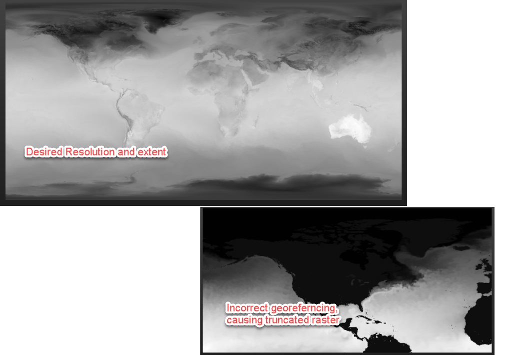
I'm bringing in several multidimensional GRIB files with which I would like to separate out each band for subsequent analysis. The GRIB file has several bands with inconsistent resolutions (i.e. 2880x1441 or 1440x721). When I run the GRIB file through a RasterBandSeparator, I see the following warning in the log file:
|WARN |GRIB reader: Band 17 of GRIB dataset is 1440x721, while the first band and dataset is 2880x1441. Georeferencing of band 17 may be incorrect, and data access may be incomplete.
The inconsistency in resolution results in incorrect georeferencing of the grids, in which the bands that have a resolution that differs from the first band are truncated and stretched.
Is there a way to prevent the system from using the resolution of the first band for georeferencing all other bands? Is there a known workflow for rectifying this behavior?


