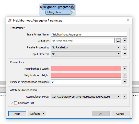
Hello, I have a point shapefile containing every aeronautical obstruction in the UK above 80ft. I am working with Largescale mapping and need to generalise the points so as not to clutter the chart. I need to merge multiple points into single points based on their proximity to each other and other attributes. Then create a new attribute stating that the new point is now a 'Multipoint'. Additionally I will need to retain the metadata of the highest obstruction of the generalised points.
Thank you very much in advance for any assistance you can provide.
@1spatialdave


