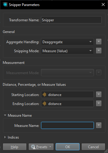
I’m wondering if there is a way to add vertexes (point) to polylines at a certain distance.
Lets say I have a .shp layer with several polylines. I also have a table with “errors” that have occurred somewhere on these polylines. The table have the following attributes:
Column 1: Line name (containing the names of the polylines in my .shp layer)
Column 2: Distance measured from XXXX (containing names of stations that connect to the polylines, this is where the distance is measured from)
Column 3: Distance (km)
So basically i know the exact point from where the distance is measured from, I know which polyline the error has effected, and I know the distance. Can I automatically map this out?


