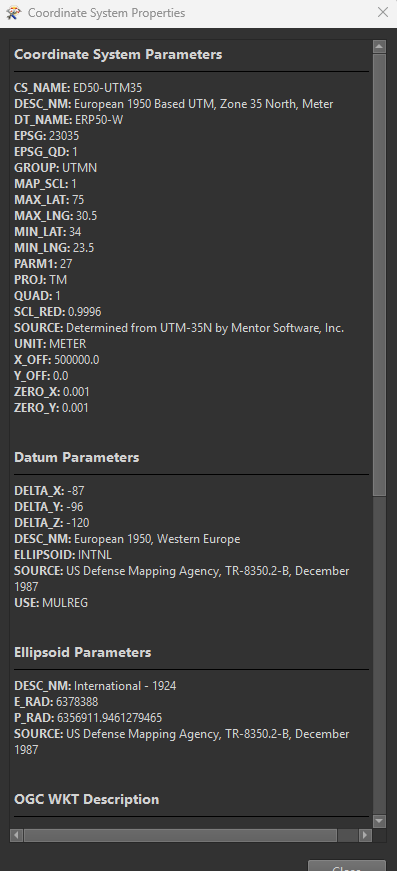
Editing an existing coordinate system is maybe not the way to go. Safe is using existing libraries so for them it's probably not easy to implement a quick change. However, here's the documentation on how to create a custom coordinate system: https://docs.safe.com/fme/html/FME-Form-Documentation/FME-Form/Workbench/coordinate_sys_custom_about.htm
I tried many ways but it doesn't work. In the attachment there are parameter files that I use in global mapper and they work properly. I imported them using esrireprojector, but I still couldn't get the values in the global mapper.Since I couldn't add the files, I converted the .prj files to .txt
Sample 2 coordinates :
U1 37.787464° 28.780846°
U2 37.751292° 28.864560°
Converted Global Mapper UTM35 (Ed50 Turkey ) coordinates
U1 656858.976 4183906.006
U2 664311.027 4180035.990
No matter what I do, it shifts the coordinates significantly and I cannot find a meaningful shift value.
Just out of curiousity, whereabouts in Turkey is your data? UTM zone 35 covers the westernmost part, the boundary between zones 35 and 36 appears to be just east of Istanbul.
My data is inside Denizli Province
Okay, so that is within the region covered by UTM-35N.
The Global Mapper prj you shared appears to be using a different datum, so that may be the cause of the difference.
I don’t know nearly enough about coordinate systems to dive deeper into this, but maybe somebody else can (or you can try to contact either your local FME parner or Safe’s support)
It was not working properly based on datum in Global Mapper. I solved the problem by adding my own datum. I cannot add a datum in FME. I have parameters. Isn't there anyone to help?