Hi,
I'm using the TopologyBuilder to create relationships between water mains (the edges) and the valve furniture (the nodes). Our corporate GIS (Gwater, Oracle based) has an start and end node for each feature to show connectivity, but ARCGIS does not . These values do not exist and I have to create them to align the two GIS systems.
So far the results have been good, as the corporate GIS feature can only connect to two other features. This doesn't happen in ArcGIS for one particular type of feature called a cross valve, which connects 4 mains pipes.
I can find the 4 pipes a cross connects to, but not the direction in which they connect to create the east-west and south-north connectivity. There's nothing in the topologybuilder output which suggests this relationship:

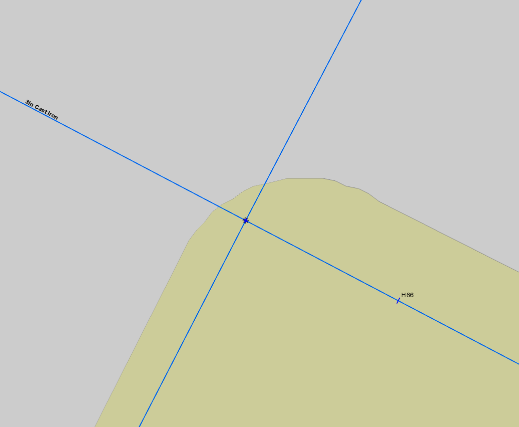
I was wondering if I can use the spatial location of the pipes that the cross connects to to determine which one is easterly of the cross, westerly and so on:
 Any idea how this might be achieved? I can then use these to create my 2 records for the cross to show the e-w and n-2 relationships.
The point shown in the map is the cross (IPID 12430772), the main to the west (left) is 12408102, the main to the east (right) is 12383810, the north (top) is 12401081 and the south (bottom) is 12363948.
Any help gratefully received!
Thanks
Neil
Cheers
Neil


