EDIT:
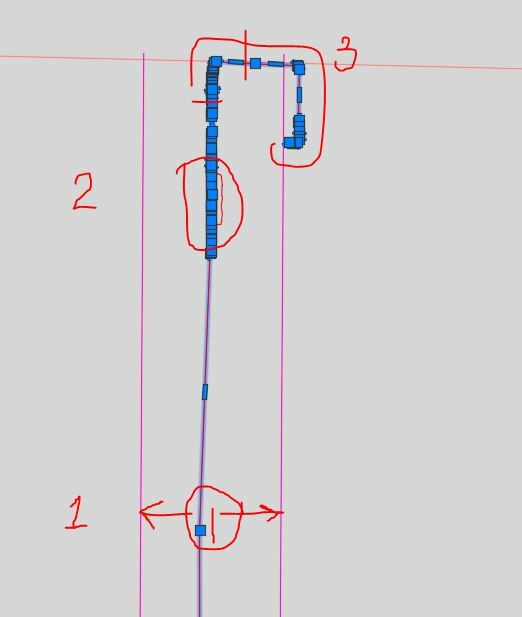
so i need to find a way to use the 1 feature set (just the pink lines) find a pair of them. (maybe the fuzzyparallelfinder would work for this) split those pairs so i get only one of them then do this perpendicular line long enough to cross the other pair, spatialrelate that back to pair a, filter those and then calculate that length. any ideas on how to pair and split each parallel set?
(see comments below for reasoning)
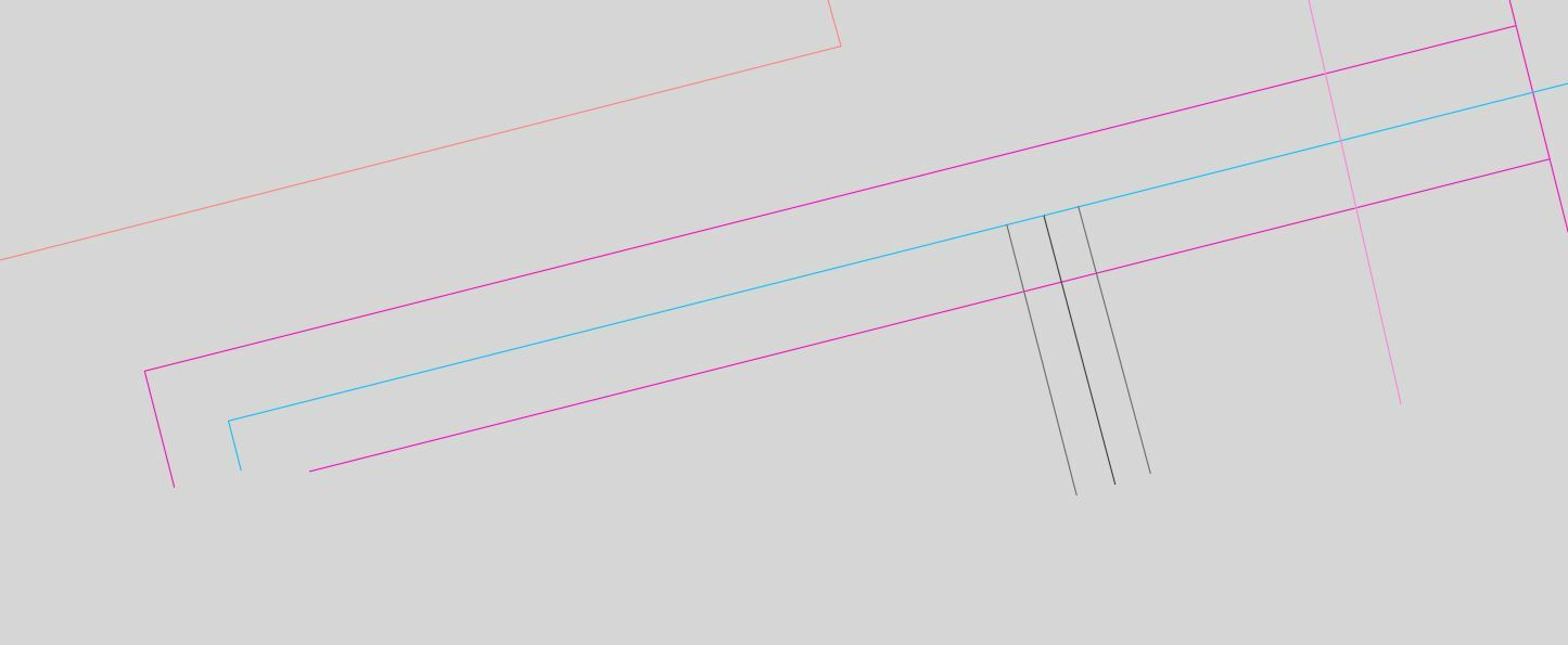
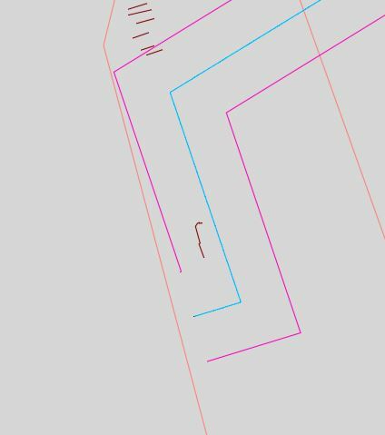
I have row line features. I need to determine the distance between them (or easement width). I have been successful creating polygons out of these by using the fuzzyparallelfinder (custom) transformer. I also need the easement width attribute assigned to each line prior to making the polygons.
 the method for creating the polygons is pretty simple using the fuzzyparallelfinder and then using a snapper and areabuilder. But i get very unbelievable values if i use the statistics calculator as described in other posts. can anyone help with what i am missing?


 and this.
 and the first example.
  to the right would yield correct results while to the left would yield several hundred feet.