Hi,
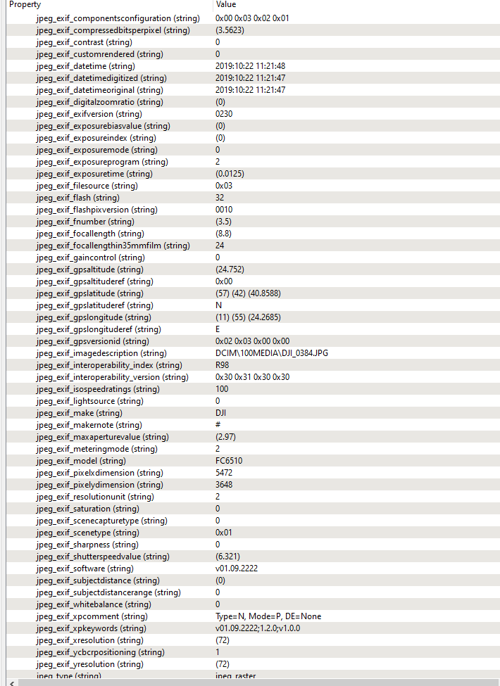
I have a bunch of JPEGs taken with a drone that contain spatial information within the embedded exif.
I am trying to enable each JPEG with the end goal of georeferencing them so that they can be made into a mosaic.
I have tried combining transformers such as the PhotoCoordinateExtracter, CoordinateSystemSetter, RasterGeoreferencer, and the RasterMosaicker to no success.
Also tried FeatureWriter to GeoTIFF then FeatureReader to no avail. When I drag them (JPEG or GEOTIFF) to ArcGIS for example, they all occupy the same space.
What is the best workflow for this?
Cheers


