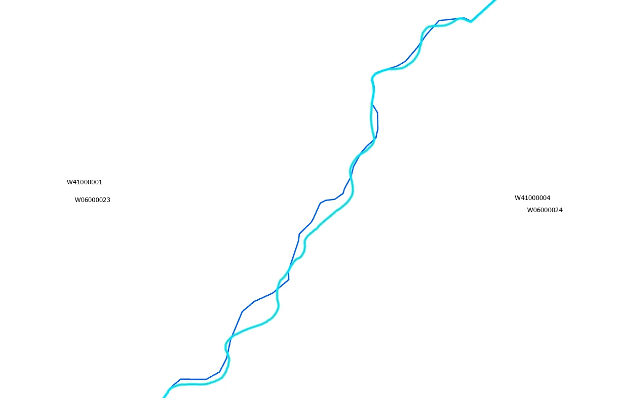
Hi, I have two local authority boundary datasets that should align along a river but don’t and this is causing the Master Lookup between the two boundary datasets to be wrong. These two should be aligned and coterminous. How do I easily solve it?

 +1
+1Hi, I have two local authority boundary datasets that should align along a river but don’t and this is causing the Master Lookup between the two boundary datasets to be wrong. These two should be aligned and coterminous. How do I easily solve it?
No account yet? Create an account
Enter your E-mail address. We'll send you an e-mail with instructions to reset your password.