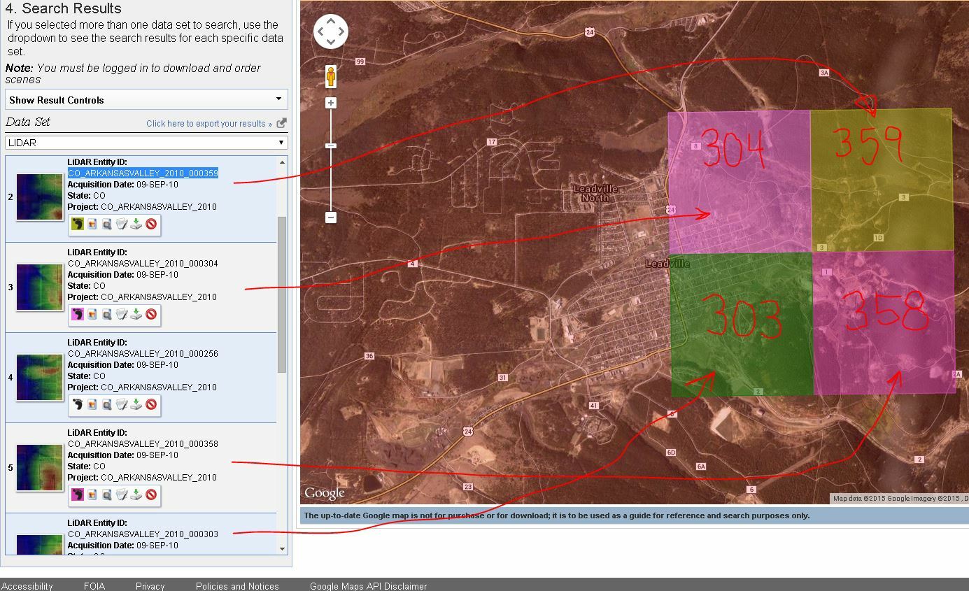
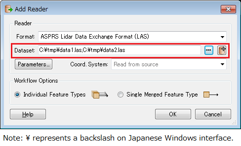
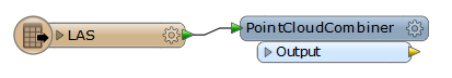
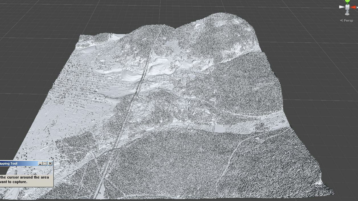
Out next step is that we would like to "stitch" 4 tiled sections of raw LiDAR data together into one large GeoTIFF. We are exploring with the RasterTiler, but I think we need the opposite of this tool as it seems to tile one image into 4 images.
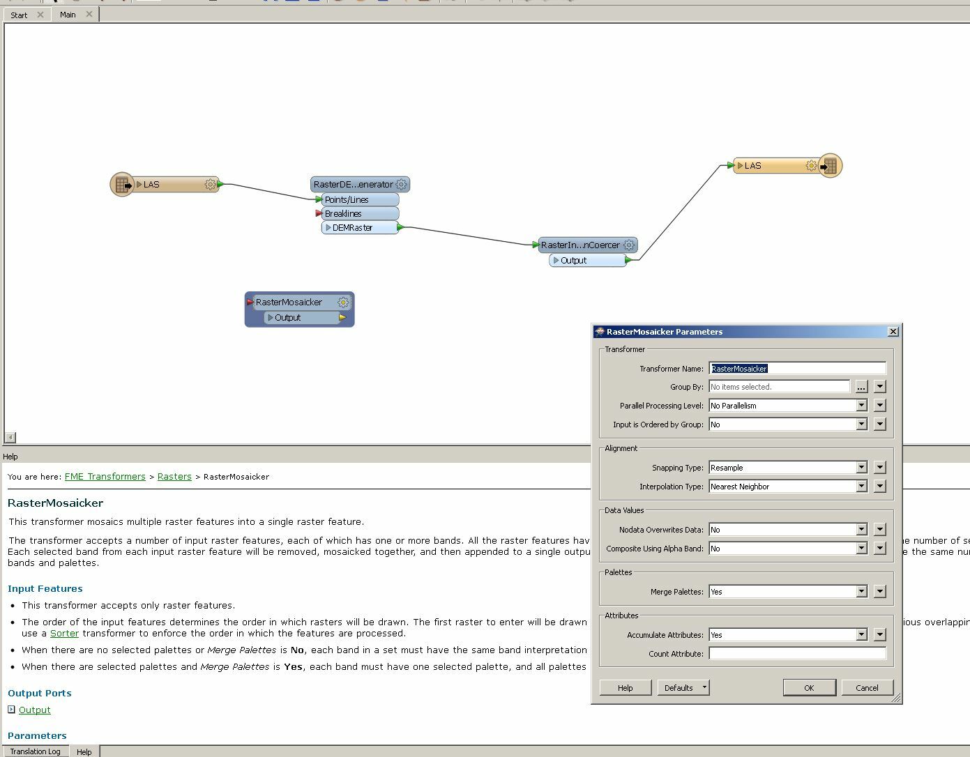
I see the RasterMosaicker transformer but I'm very new to this software. Could anybody help me set this up?