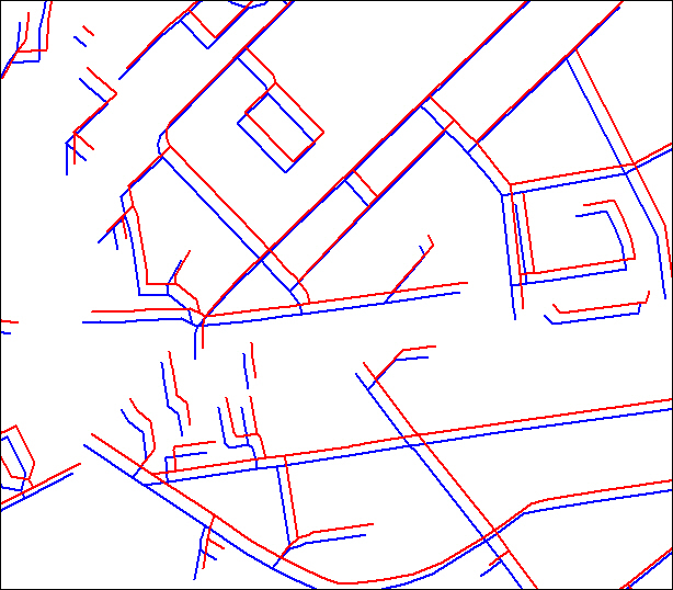
would anyone have a solution for this problem?
I have the vector street data in WGS84 (EPSG:4326) and transform them to EPSG:28404. The transformation is done with error of 11m, which is way too much. I compared the transformed coordimnates with MapInfo transformation, also with some www online transformers and see that this if FME who has error in the calculation.
So I tried the CSmap transformer, played with Z coordinate, but there are no meaningful results. I am still having an offset of 11m, +/- constant accross all the country. Just FYI, the data sit around 48N, 17E.


