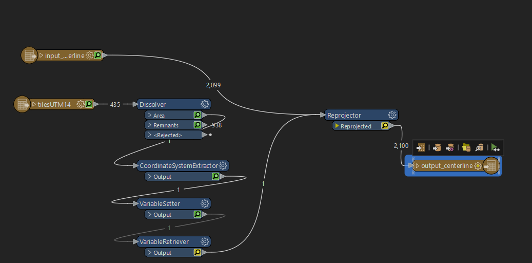
I have two readers reading two shapefiles: a centerline and a AOI of interest. The centerline is in WGS 1972 and the AOI. I need to reproject the centerline to the coordinate system of the AOI. Is there a way to define the "Destination Coordinate System" with that of the AOI?
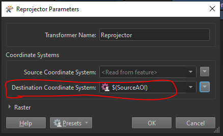
 

Capture

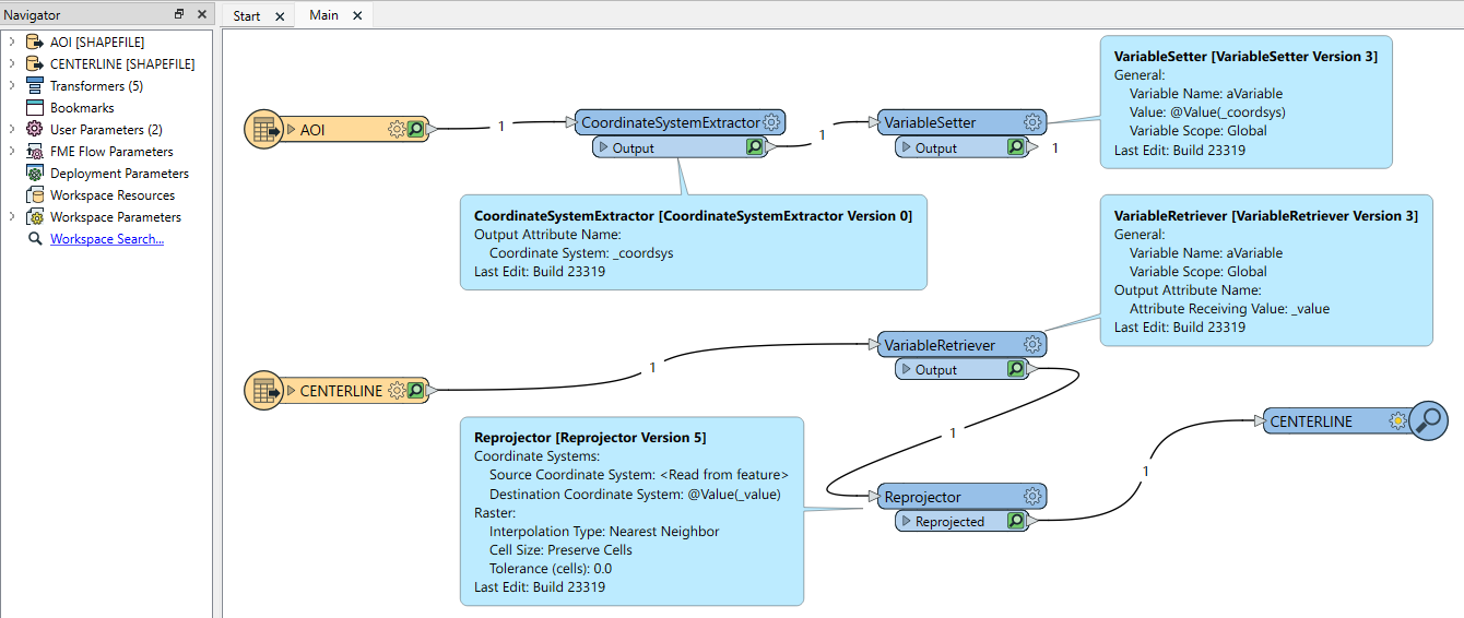
Hi @moostang88​ I'd use a CoordinateSystemExtractor on the AOI features, followed by a VariableSetter. Put a VariableRetriever before the Reprojector for the centerline features then use that attribute for the Destination Coordinate System in the Reprojector. Remember that the variable needs to be set before it's read back, so make sure that the AOI reader in the navigator is ahead (or above) the centerline reader in the Navigator Pane. Lastly, you might need a disabled connection between the VariableSetter and VariableRetriever.


Thanks. But, it just does not work. It does not reproject at all.

image


Hi @moostang88​ The VariableSetter and Retriever should be on different paths, e.g.image


Ah. I see. Now it works ! Thanks !!


Reply