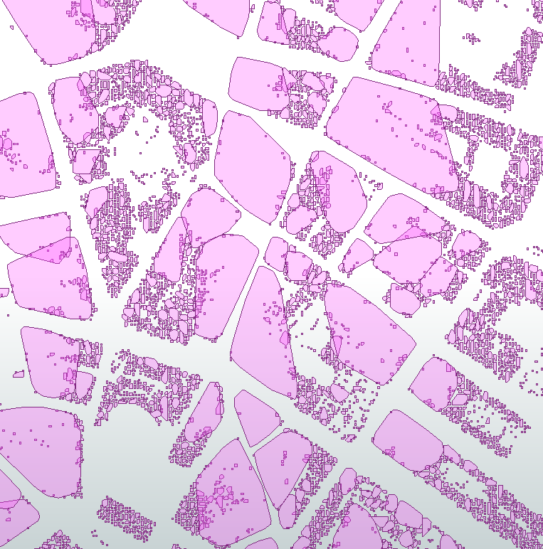
Hi all!
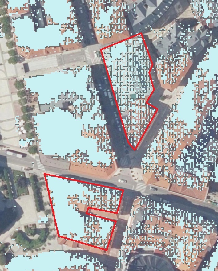
I have a Raster with only 0 and 1 values, where the 1 are the buildings extracted from a LAS cloud point (Class 6) and the 0 the rest of the extent. It is attached and it looks like this:
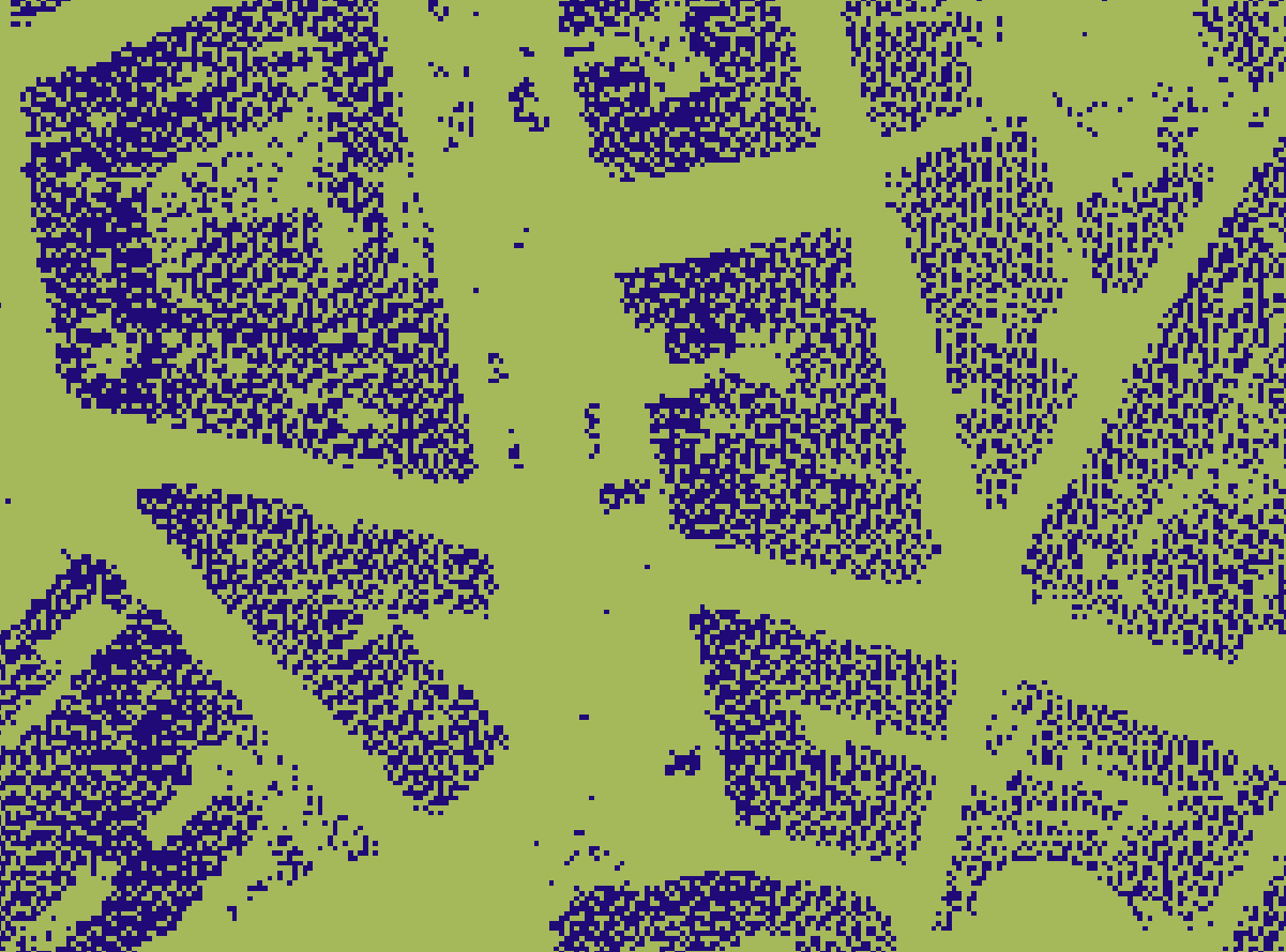
I need to get the polygons of the buildings footprint and my attempt is a RasterToPolygonCoercer, followed by a Dissolver but the result is not what I expected.
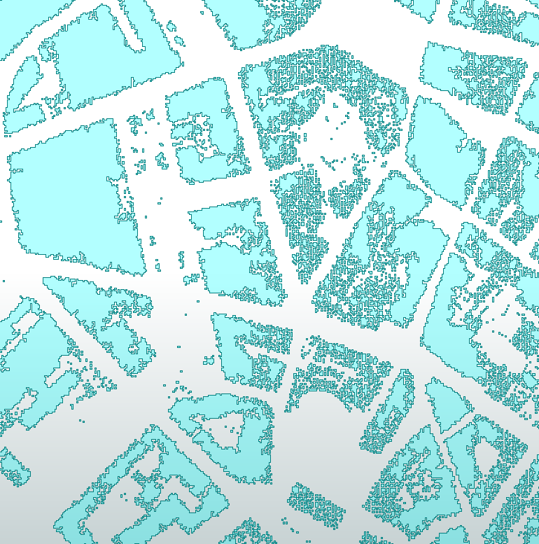

I tried a buffer of 1m but again, the footprint is not correct and I cannot make a bigger buffers because the correct shape of the building becomes increasingly worse.
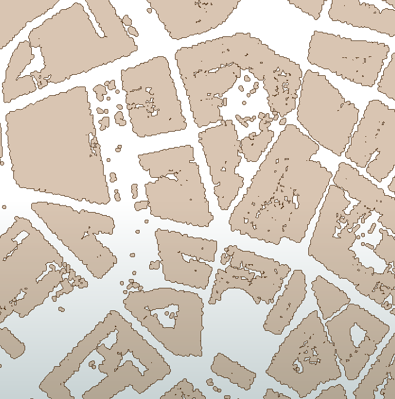
I tried Generalize but it is not useful here. It smoothens polygons that are already correct and mines aren't. Tried also Aggregator and AreaAmalgamator but never seen the result. They take a really long time to process as there are thousands of polygons.
In the end what I want is polygons more or less correct but one per building as the red outline in the image below, where you could easily relate each building to its footprint.
Thanks a lot in advance for all the answers!


