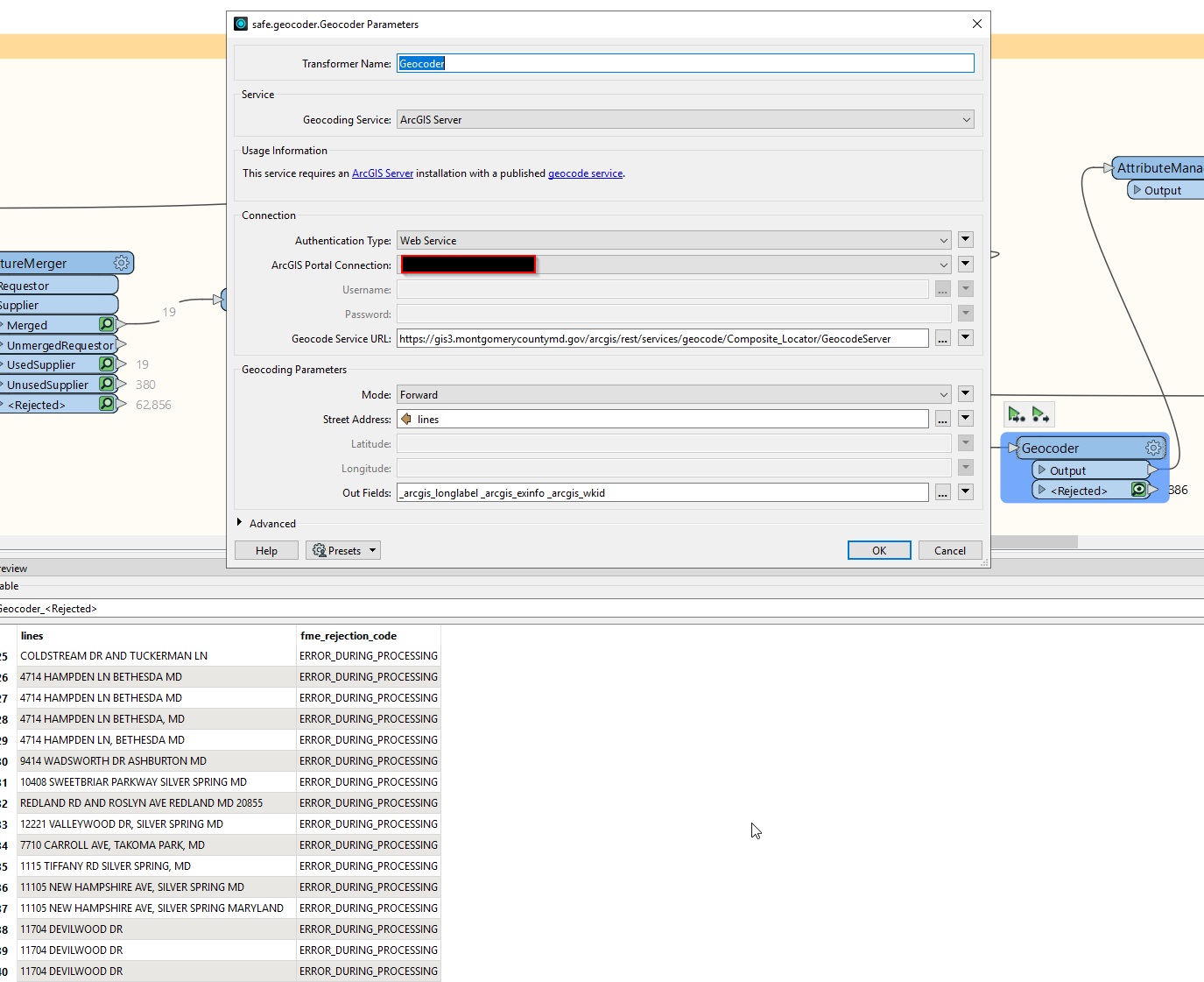
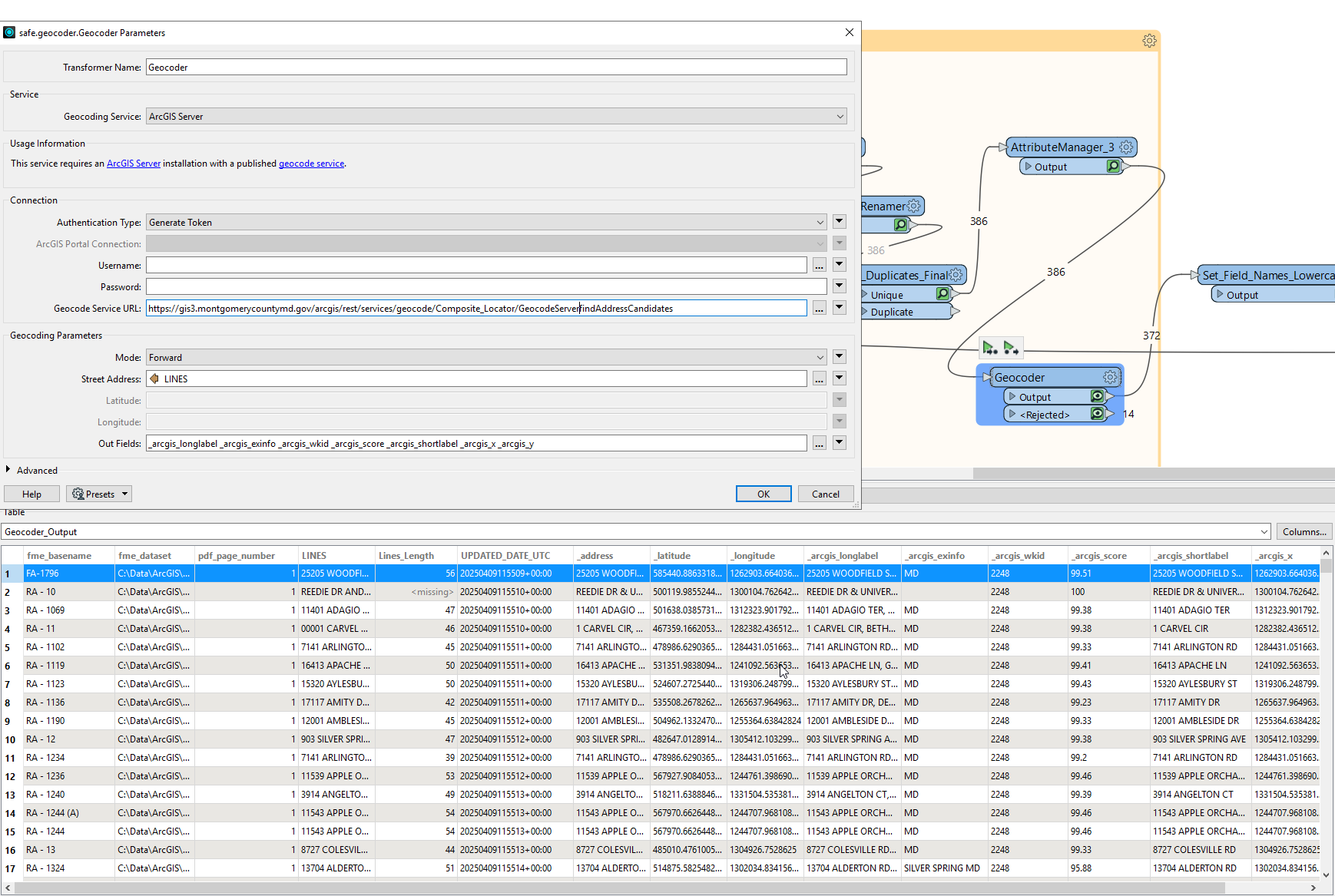
Hello FME Community, can someone help me configure the Geocoder transformer to use our County geolocator service? I’m using a single-line address, with the locator on an ArcGIS Server. The URL is https://gis3.montgomerycountymd.gov/arcgis/rest/services/geocode/Composite_Locator/GeocodeServer. This is a public-facing locator service for Montgomery County, MD.
I’ve tried:
Using the above URL
Using the locator as an AGOl item in the transformer, both fail.
Setting the URL with different paths to the operation or the base geocode folder.
Setting the transformer geocoding service parameter as ArcGIS Server or ArcGIS Online.
I can successfully use the geocoder transformer with the ArcGIS Global geocoder, but I prefer the County geocoder to ensure the addresses and intersections are within our County.
All rows/addresses are rejected with the FME Rejection Code ERROR_DURING_PROCESSING.
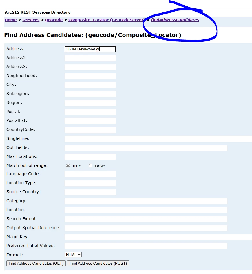
The County Locator Service works properly in ArcGIS Pro or when an address is presented to the Address Candidate operation at the rest endpoint.
Any help or advice would be greatly appreciated!!
Kindly,
Josh