




Hi All,
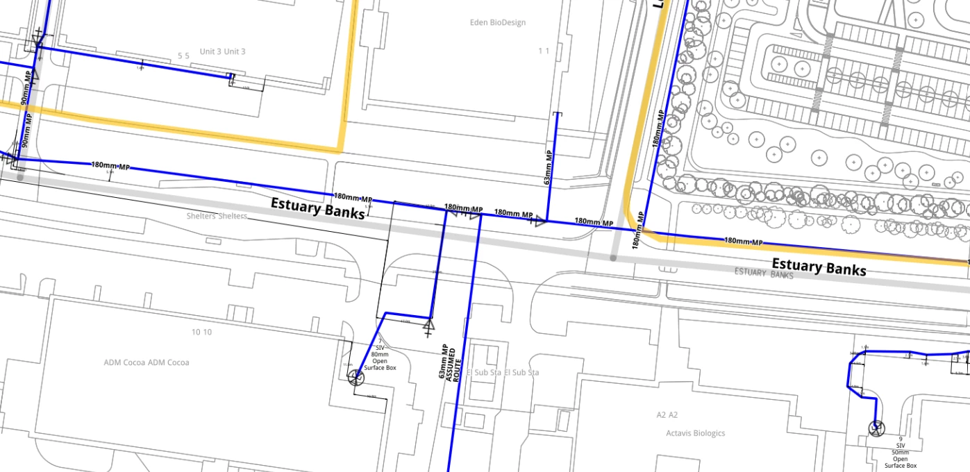
I’m exploring whether FME could help automate a manual process for extracting pipe diameter information from rasterised PDF drawings.
The PDFs also need be georeferenced, although the raster quality is relatively poor. The aim is to extract pipe diameter annotations using OCR, create point locations from the recognised text, and then spatially associate these with the corresponding GIS pipe lines to populate the diameter attribute.
I’ve tried TesseractCaller, but the results have not been sufficiently reliable so far.
Has anyone successfully implemented something similar in FME? I’d be particularly interested in recommendations for OCR libraries, Python libraries, FME packages, or other approaches that perform well with low-quality engineering drawings.
Below of an example of the pdf
Thanks :)