I request the MVT files with these urls. (behind password)
https://maps-ver.lantmateriet.se/vt/fastighetsindelning/v1/wmts/1.0.0/fastighetsindelning/default/3006/10/1500/1600.mvt (then /1501/1600.mvt etc.)
Generated files in Drive link (https://drive.google.com/drive/folders/16XT71TQnF-bQFYHZ2zv87PR22a7_EJB3?usp=sharing
Style information: https://maps-ver.lantmateriet.se/vt/fastighetsindelning/v1/wmts?request=GetCapabilities&version=1.0.0&service=wmts
From provider Tilematrixset is 3006 (SWEREF99 TM).
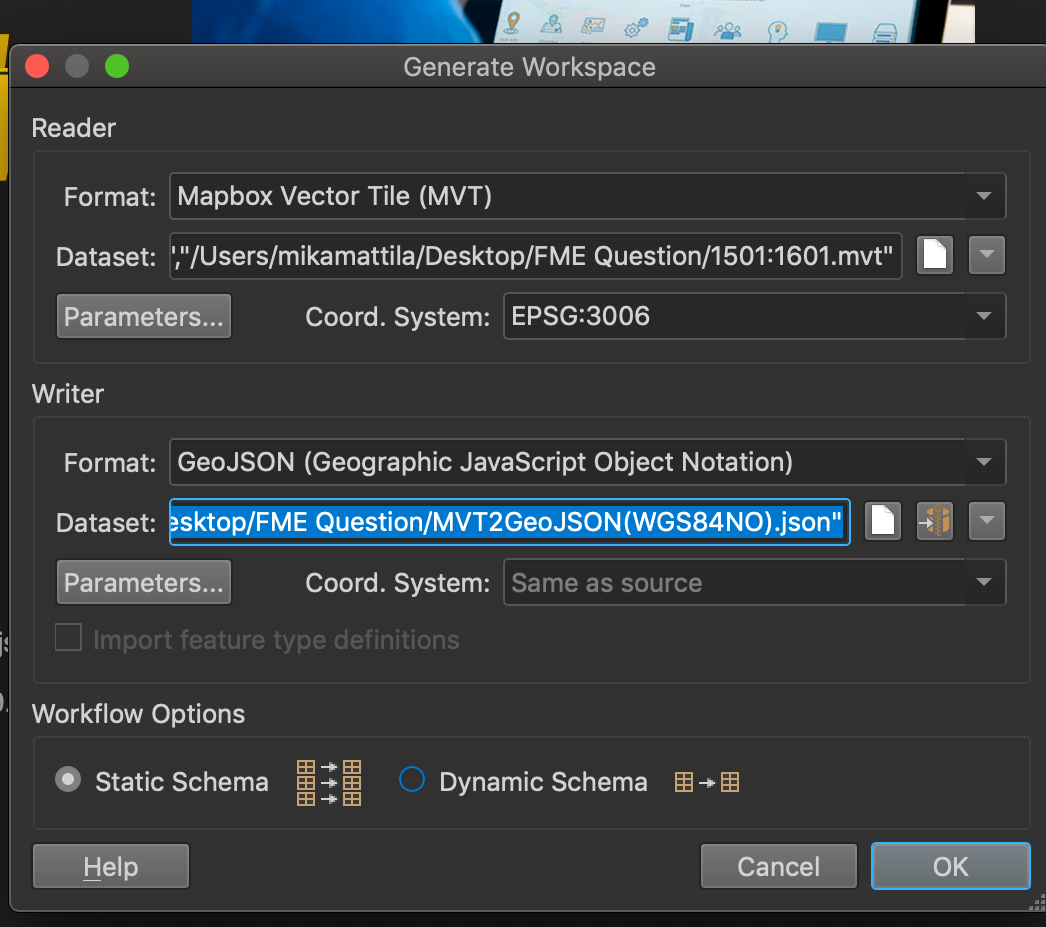
I generate workspace and select all four MVT files with the following settings and press run. The generated GeoJSON files have the information stacked on top of each other on the same coordinates which are incorrect. Not sure what to do.


