i have points for each gas stations on both side of highways and shape file of highways road network..
i want to caclulate the distance between gas stations on each side .. and side of gas station


 +3
+3i have points for each gas stations on both side of highways and shape file of highways road network..
i want to caclulate the distance between gas stations on each side .. and side of gas station
No account yet? Create an account
Enter your E-mail address. We'll send you an e-mail with instructions to reset your password.


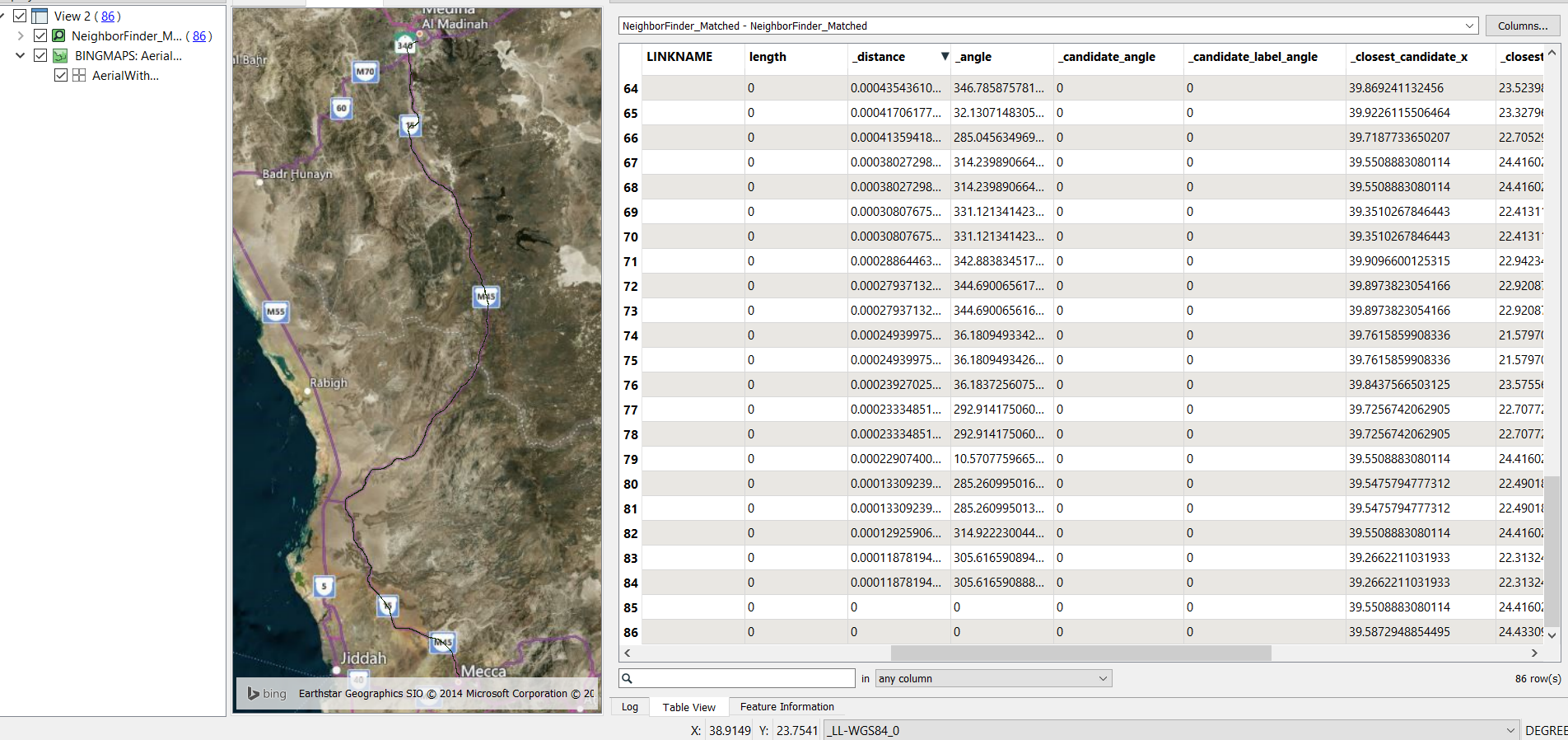
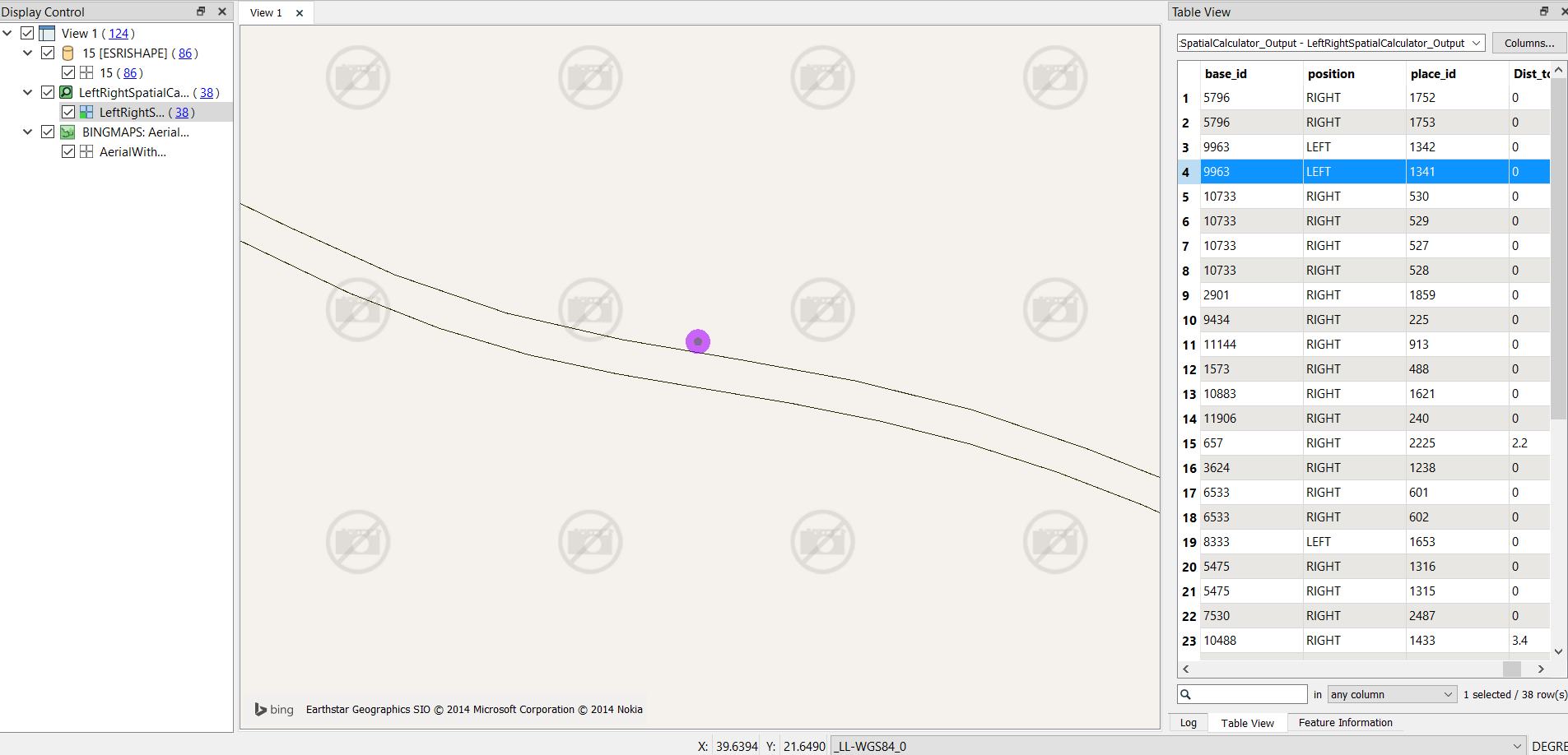
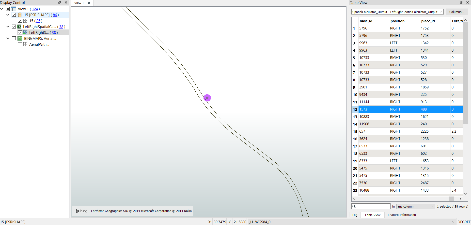 thanks @becchr , i tried leftrightcalculator but it didnot give me the accurate result,, also the distance i got from neighborfinder is in unknown units..