
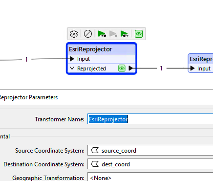
I am using the CoordinateSystemExtractor to extract CRS from shape files. The output attribute _coordsys is an abbreviated name and hard to make use of it downstream. For example. the shape file prj file has the name “NAD_1927_BLM_Zone_15N”, which is an ESRI standard name. But the _coordsys value is _NAD27.BLM-15N.ft_0. I would hope the output is NAD_1927_BLM_Zone_15N so that I can use it directly in EsriReprojector. Any idea to achieve this? I have an excel file with over 150 global CRSs that need to reprojected to WGS 84. Both the sources and transformations in this excel file use standard ESRI names. Want to use this excel file to reproject all source datasets (shape files) into WGS 84 using just one EsriReprojector for which both the source and destination CRS parameters are set directly from the excel file. If you know a solution, please send reply to my work email - allen.guan@woodside.com. Appreciate the help.

Solved
Is there a way to extract coordinate system from datasets to be standard ESRI coordinate system names?


 +11
+11- Contributor
Best answer by ebygomm
If provided in an attribute the value must be in the form
ESRIWKT|<name>|<esriwkt> where <name> is the coordinate system name, and <esriwkt> is the WKT (Well-Known Text) representing the coordinate system.
Edit: just tested using that syntax and it works ok for me
<strong>This post is closed to further activity.</strong><br />
It may be a question with a best answer, an implemented idea, or just a post needing no comment.<br />
If you have a follow-up or related question, please <a href="https://community.safe.com/topic/new">post a new question or idea</a>.<br />
If there is a genuine update to be made, please contact us and request that the post is reopened.


Helpful Members This Week


Enter your E-mail address. We'll send you an e-mail with instructions to reset your password.