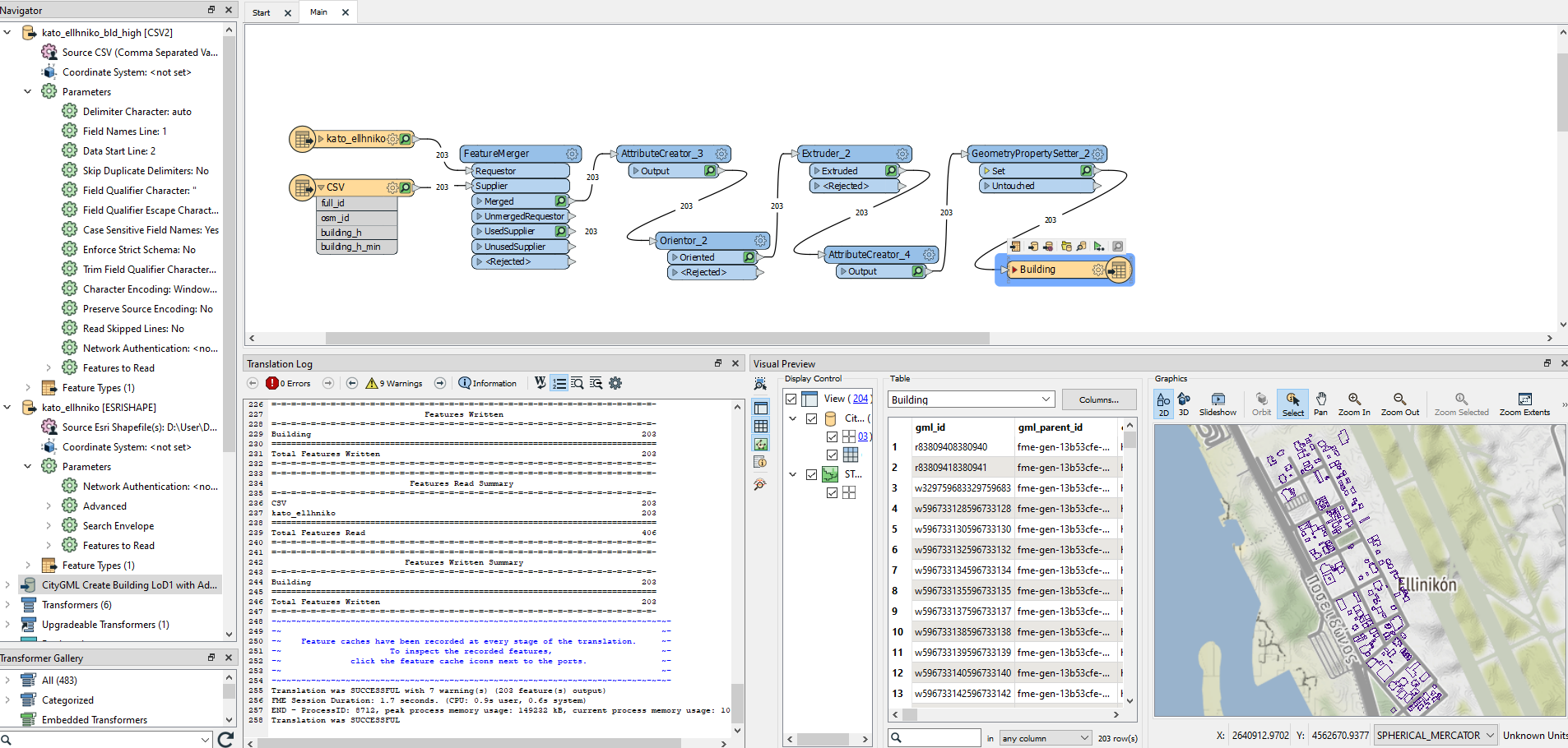
I'm trying to create 3D Buildings (Lod1) from shapefile, I extrude the buildings but I can't see the 3D models in FME (and inspector). While in FZK everything is OK, what am I doing wrong?
PS. I use shape file from OSM

Hi @estudy000​ , possibly the coordinate system is a geographic one (i.e. latitude, longitude, altitude)?

If so, x/y range will be very smaller than z range on 3D mode of FME Data Inspector, since latitude/longitude are in degrees whereas altitude is in meters

Try showing the buildings with 2D mode in FME Data Inspector to check if their footprints would appear on the correct location.


First of all, thank you for the answer. 

I see the 2D footprints on the inspector but I do not see the 3d.

(In FZK i see the 3d buildings)

I use footprints (export as .shp file) from OPENSTREETMAP.


For building elevation I use a .csv file.

-the .shp file need some change before I use it?


sampl_shp_to_LOD1_Citygml 


in FME Data Inspector the buildings (in 2D) mode appear on the correct location.


I believe that you have created a correct CityGML dataset successfully.

FME Data Inspector in 3D mode won't project coordinates of 3D geometries onto a geographical coordinate system, so those would be rendered extremely distorted if units of x/y axes are different from units of z axis.

I suppose that units of x/y are degrees and units of z are meters in your case. If so, each building is drawn as very thin and high shape, something like a needle.


If you'd like to see the buildings with FME Data Inspector, create and run a workspace that reads the CityGML dataset with a CityGML reader, converts coordinate system of the building features into a projected coordinate system with a Reprojector or CsmapReprojector, and sends them to an Inspector.  


Thank you very much for your patience.

You are right, I used Reprojector and I was able to see the 3d buildings.


Thanks


Reply