

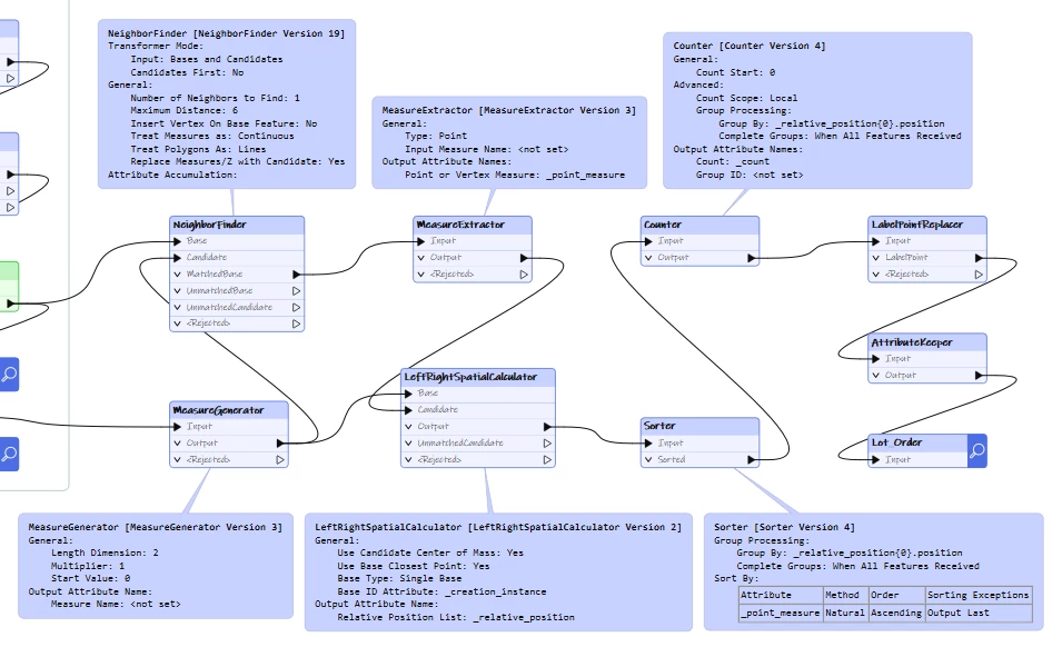
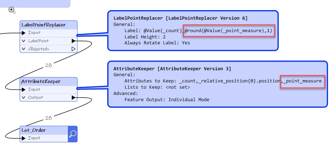
I am trying to allocate civic numbers to parcels on either side of road (mostly curved). For this, I first need to sort the parcels (or parcel centrepoints) along the distance from the first vertex of the street, to help develop the sequential numbering. Parcels already have their nearest roads by neighbourfinder. And roads have their first vertex from the coordinateextractor. Both parcels and street segment run parallel here. Tried using Measure generator and extractor but I am getting NAN outputs. What other transformers can I use ?

Question
How to sort parcel points along the curved streets running parallel to parcels?


Login to the community
No account yet? Create an account
An FME Account is required to contribute
LoginEnter your E-mail address. We'll send you an e-mail with instructions to reset your password.