Dear FME community,

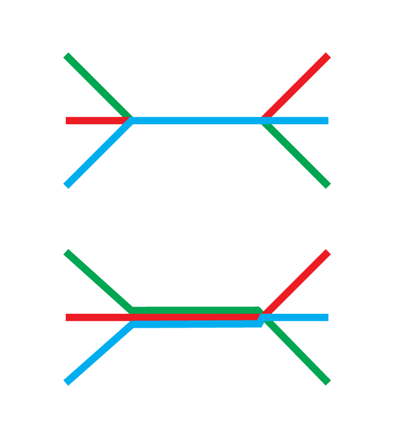
I have a shapefile with lines that are partially parallel. We want to create a map for 1:50.000 and there the parallel lines are too close together to distinguish them 🙂 Is there an easy way in FME to separate the lines, i.e. to make more space between them?

I think the Offsetter makes offsets for all the lines, but I only need to change the parallel one's. And each parallel line in opposite direction.

Kind regards and many thanks

Thomas
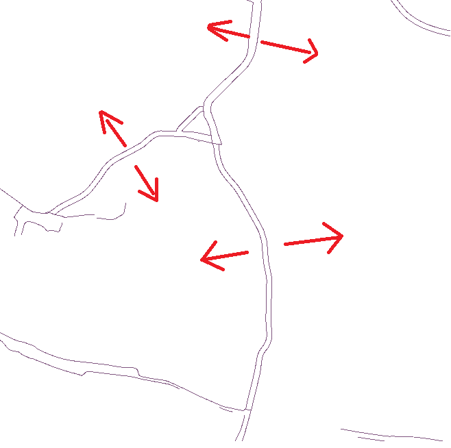
Not sure if this can be helpful, but your post reminded me of a Tweet by @redgeographics I saw last month. Might want to contact Hans anyway, as he is the cartography expert!


I am actually working on a solution for this:

It's currently work-in-progress, I don't think there will be a "perfect" solution, but right now it's "pretty darn close" with "a few seconds" of processing time for a fairly large public transit network.

It will most likely be a custom transformer that I'd be exploiting commercially, so you would have to buy a license from me.


Hi @redgeographics


that sounds great! Can you estimate when it will be ready? Would be nice if I could send me an email adress how I can contact you.

Best wishes

Thomas


I don't think it will ever be "ready", right now it does not handle very complex situations all that well and it really depends on how clean the source data is, I tried it with some bus lines taken from OpenStreetMap, bad idea... but my other sample set is fairly clean and it does come up with decent results there.

The way I see it, it will most likely always be one of those solutions that works well for x % of the time but still requires some manual touch-up in the graphics design phase. Key now is to get that % as high as possible.

If you want you can reach me at hans@redgeographics.com, I'd be happy to take a look at any sample data you'd be able to provide.


Reply