Hi,
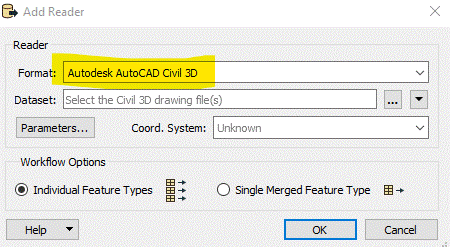
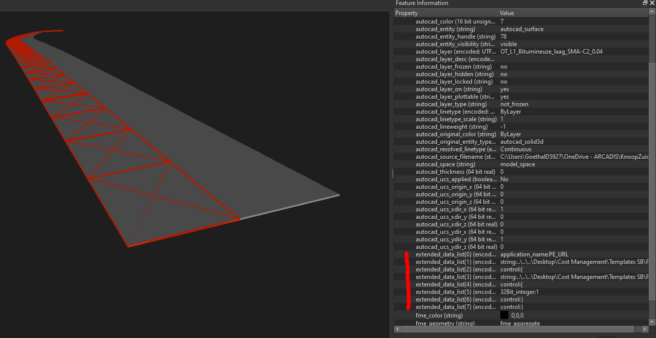
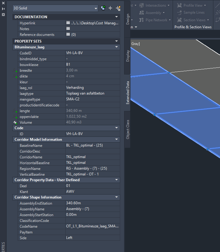
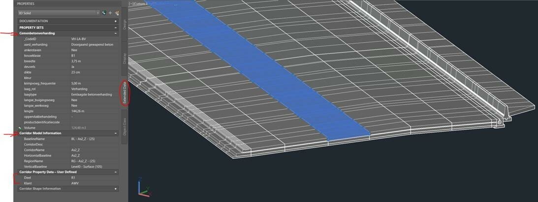
I'm new to the FME family and have this question. I have a Civil 3D dwg that we want to transfer to a geodatabase. Transforing the geometry is no problem, but the dwg has extended entity data that I want as attribute fields in the geodatabase.
But, at this time, I can't even find my extended data when inserting the dwg as a reader. I searched this community but so far no luck. I tried the 'AttributeExposer' or ListExploder' transformers, but still didn't get result.
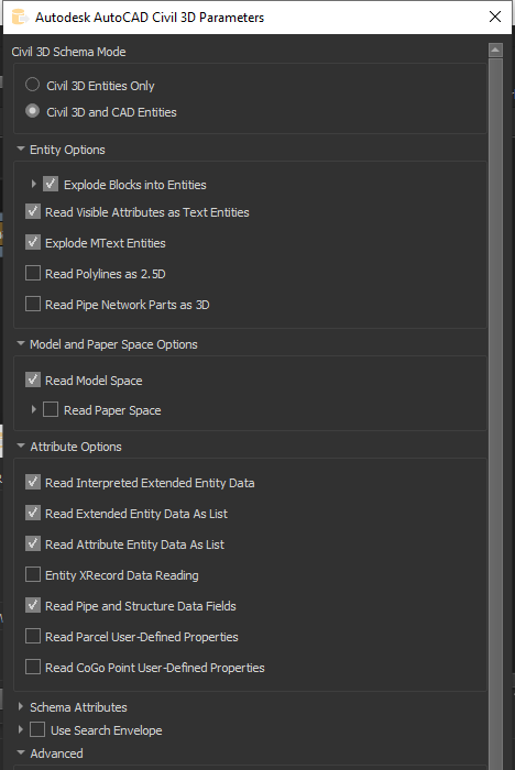
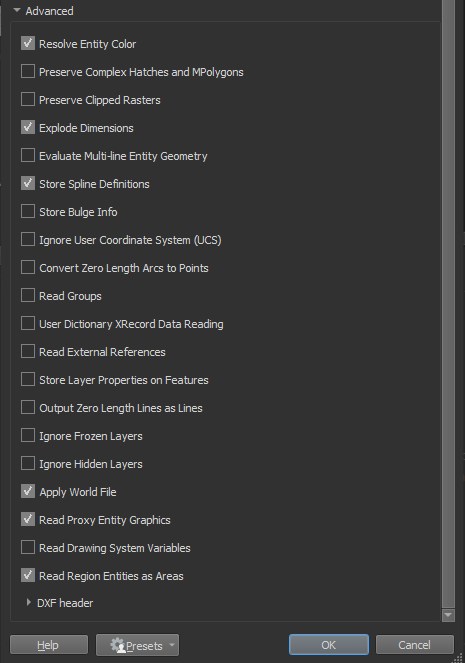
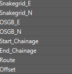
Can someone tell me how to set the parameters so I can read the extended data and will be able to transfer them as attributes in a geodatabase?
 Thanks,
Davy


