I have a question regarding the integration of FME Flow with the ArcGIS suite. I am currently developing a 3D viewer platform utilising ArcGIS technologies, such as the 3D viewer, to display LiDAR data in SLPK format. The platform operates smoothly; however, my client has requested the capability to download the data as LAS files based on an 'Area of Interest' (AOI) drawn by the user.
I am considering embedding an FME Flow application within an ArcGIS Experience Builder that hosts both the 3D Viewer and the FME Flow application to facilitate the download of LAS files. Is this feasible? Any information or resources to assist in achieving this would be greatly appreciated.
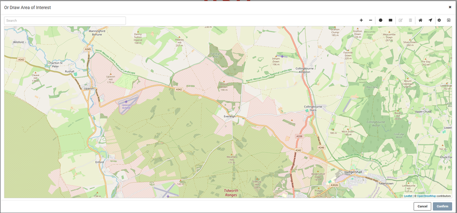
Additionally, is it possible to customise the FME Flow map to function as an ArcGIS Webmap (either 2D or 3D) to display the extent of the LiDAR data? My tests have only shown the default map with OpenStreetMap as the background, but I aim to provide users with the extent of the LiDAR data so they are aware of what they are downloading when they draw the AOI polygon.
Thanks in advanced!
Best answer by carlw
Hi David,
Yes, everything you’ve described sounds very doable with Form & Flow! Embedding a Flow App alongside the 3D Viewer in Experience Builder and using the Geometry Parameter to define an AOI for data download should all be fairly straightforward.
However, one hurdle will be the SLPK format - FME can write to SLPK, but there is no SLPK reader. Do you have an S3 bucket / network directory / etc where the data is archived in .LAS?
Re: Displaying the extent of the LiDAR data - If you don’t already have polygons for the LiDAR footprints, one approach would be to process all archived datasets through a workspace that uses the HullAccumulator transformer to generate bounding polygons with relevant metadata. Then you could set up an Automation in FME Flow that is triggered to run a modified version of this workspace any time a new LAS file is uploaded so that the footprint layer is always up-to-date.
As far as resources go, we actually have an advanced tutorial that covers how to build a workspace + Flow app where users can download LAS data by drawing an AOI. I think you’ll get a lot of value out of it: Data Distribution for Point Cloud Data
This post is closed to further activity.
It may be an old question, an answered question, an implemented idea, or a notification-only post.
Please check post dates before relying on any information in a question or answer.
For follow-up or related questions, please post a new question or idea.
If there is a genuine update to be made, please contact us and request that the post is reopened.
Yes, everything you’ve described sounds very doable with Form & Flow! Embedding a Flow App alongside the 3D Viewer in Experience Builder and using the Geometry Parameter to define an AOI for data download should all be fairly straightforward.
However, one hurdle will be the SLPK format - FME can write to SLPK, but there is no SLPK reader. Do you have an S3 bucket / network directory / etc where the data is archived in .LAS?
Re: Displaying the extent of the LiDAR data - If you don’t already have polygons for the LiDAR footprints, one approach would be to process all archived datasets through a workspace that uses the HullAccumulator transformer to generate bounding polygons with relevant metadata. Then you could set up an Automation in FME Flow that is triggered to run a modified version of this workspace any time a new LAS file is uploaded so that the footprint layer is always up-to-date.
As far as resources go, we actually have an advanced tutorial that covers how to build a workspace + Flow app where users can download LAS data by drawing an AOI. I think you’ll get a lot of value out of it: Data Distribution for Point Cloud Data


")
