coordinates of given type
extract coordinates and type
Hi @ikubra800
Did you try to use the stringsearch?
Do you want to separate lat and long, correct?
Thanks in Advance,
Danilo
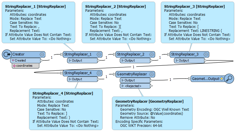
Your attribute coordinates reads like:
[x1,y1][x2,y2][x3,y3][x4,y4]
WKT for a linestring has the following format:
LINESTRING (x1 y1, x2 y2, x3 y3, x4 y4)
So perform a bit of consecutive search-and-replace:
Thanks for response @danilo_fme and @geomancer ,
I solved that GeoJSON (Geographic JavaScript Object Notation) reader directly.
Hi @ikubra800
Thanks your feedback. It is a very good that you solved the problem with the GeoJSON Reader.
Already have an account? Login
No account yet? Create an account
Enter your E-mail address. We'll send you an e-mail with instructions to reset your password.
Sorry, we're still checking this file's contents to make sure it's safe to download. Please try again in a few minutes.
Sorry, our virus scanner detected that this file isn't safe to download.

 extract coordinates and type
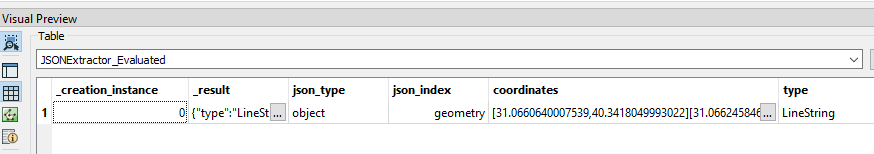
 extract coordinates and type