And what did you try?
Typing out your complete homework assignments on FME forum?
@bimbe Try using the 2DVectorCalculator from the FME HUB. You'll have to have two vectors for either side of the line then LineCombiner to join them into a single line.
And what did you try?
Typing out your complete homework assignments on FME forum?
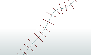
So far, I've taken a DistanceChopper to divide the initial line file up into 5 mile sections --> then a counter --> CoordinateExtractor --> and then a rotator. This get's me what I'm looking for but I need the lines to be straight coming off the line file (see below). I've also tried some sort of combination between OffsetCurveGenerator, DistanceMarker, BoundSplitter, and a few other transformers I've found from searching the community but nothing specifically what I'm looking for. Business user came to us with this request but it's got our team stumped right now.
According to your image you don't offset perpendicular, but rather in north-west direction?
A perpendicular offset on a line with these kind of bends will go in all directions.
If the lines all should go in the same direction you could extract the vertices, clone+offset the vertices in the correct direction and then create lines from original to new vertex.
You then can snip the lines to the correct distance?
If the lines should be perpendicular the OffsetCurveGenerator should do the job I think.
So far, I've taken a DistanceChopper to divide the initial line file up into 5 mile sections --> then a counter --> CoordinateExtractor --> and then a rotator. This get's me what I'm looking for but I need the lines to be straight coming off the line file (see below). I've also tried some sort of combination between OffsetCurveGenerator, DistanceMarker, BoundSplitter, and a few other transformers I've found from searching the community but nothing specifically what I'm looking for. Business user came to us with this request but it's got our team stumped right now.
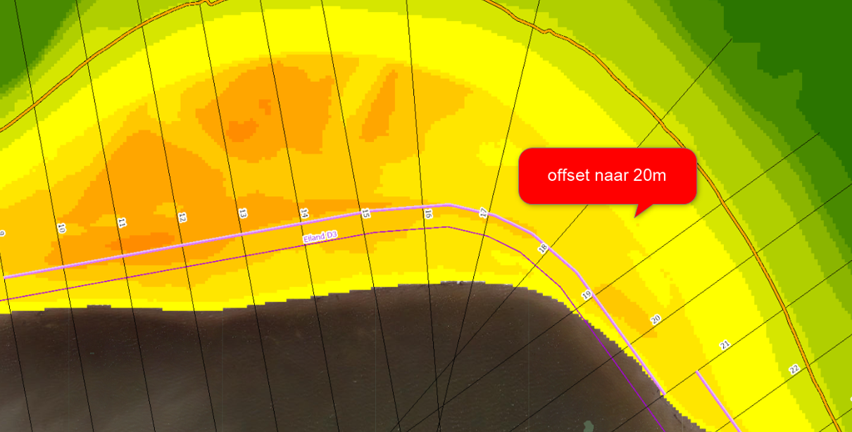
I ones made a workbench that did a similar result:
In this case a line on the top of a dune, and then extend perpendicular in both directions every 20m. This way you can check the height profile of the dune on fixed locations. But as you can see, the lines intersect when the dune curves.
So far, I've taken a DistanceChopper to divide the initial line file up into 5 mile sections --> then a counter --> CoordinateExtractor --> and then a rotator. This get's me what I'm looking for but I need the lines to be straight coming off the line file (see below). I've also tried some sort of combination between OffsetCurveGenerator, DistanceMarker, BoundSplitter, and a few other transformers I've found from searching the community but nothing specifically what I'm looking for. Business user came to us with this request but it's got our team stumped right now.
That's pretty similar to what I'm looking for in your example of the dunes. In my case it's a coastline along with east coast of the US. I know it won't be exactly perpendicular but i thought it would be close to what I was looking for. I'll try a combination of the Offsetter and/or OffsetCurveGenerator. Thanks
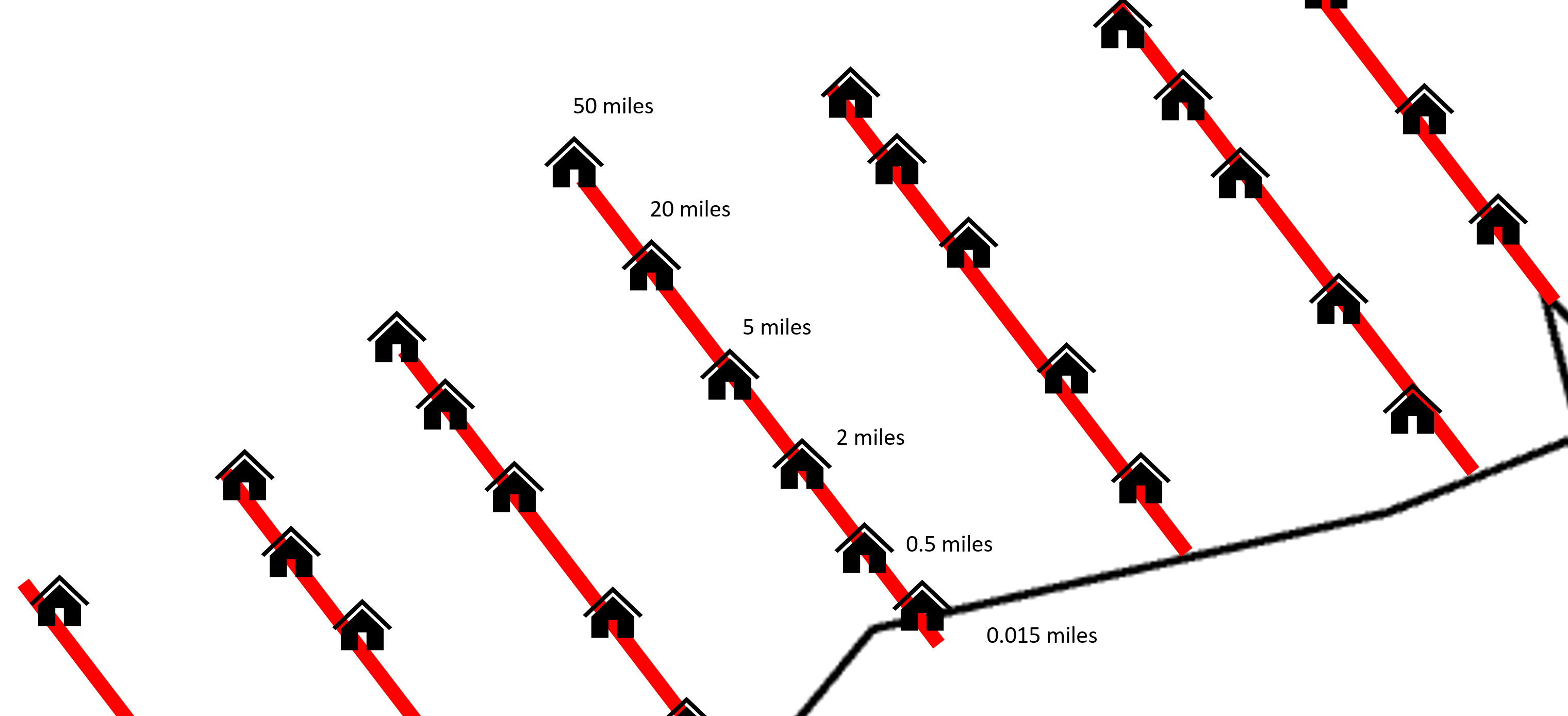
Something like this works:
The key is getting the angle of the coastline, then offsetting points along that coastline by that angle plus (or minus) 90 degrees. You'll need some way of knowing which side to offset to (test if in sea or land). Also the way I've done it the points touch two coastline segments, so it has two angles available and I'm only using one, but that's also a simple improvement to put in to average it.
Can you share the script? Or detail the parameters you used?