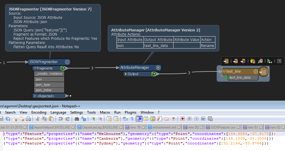
I'm currently exploring MapBox and their Tiling Service, which is currently in Beta and I'm trying to figure out how to create a line-delimited GeoJSON output so I can upload via their Tileset API.
The data/file needs to take the format as per the example below:
Normal GeoJSON
{
    "type": "FeatureCollection",
    "features": [
        {
            "type": "Feature",
            "properties": {
                "name": "Melbourne"
            }, "geometry": {
                "type": "Point",
                "coordinates": [
                    144.9584,
                    -37.8173
                ]
            }
        }, {
            "type": "Feature",
            "properties": {
                "name": "Canberra"
            }, "geometry": {
                "type": "Point",
                "coordinates": [
                    149.1009,
                    -35.3039
                ]
            }
        }, {
            "type": "Feature",
            "properties": {
                "name": "Sydney"
            }, "geometry": {
                "type": "Point",
                "coordinates": [
                    151.2144,
                    -33.8766
                ]
            }
        }
    ]
}
Newline -delimited GeoJSON
{"type":"Feature","properties":{"name":"Melbourne"},"geometry":{"type":"Point","coordinates":[144.9584,-37.8173]}}
{"type":"Feature","properties":{"name":"Canberra"},"geometry":{"type":"Point","coordinates":[149.1009,-35.3039]}}
{"type":"Feature","properties":{"name":"Sydney"},"geometry":{"type":"Point","coordinates":[151.2144,-33.8766]}}
I know it's possible using other tools such as GDAL, Tippecanoe etc, but I'm sure someone has already solved this problem using FME.


