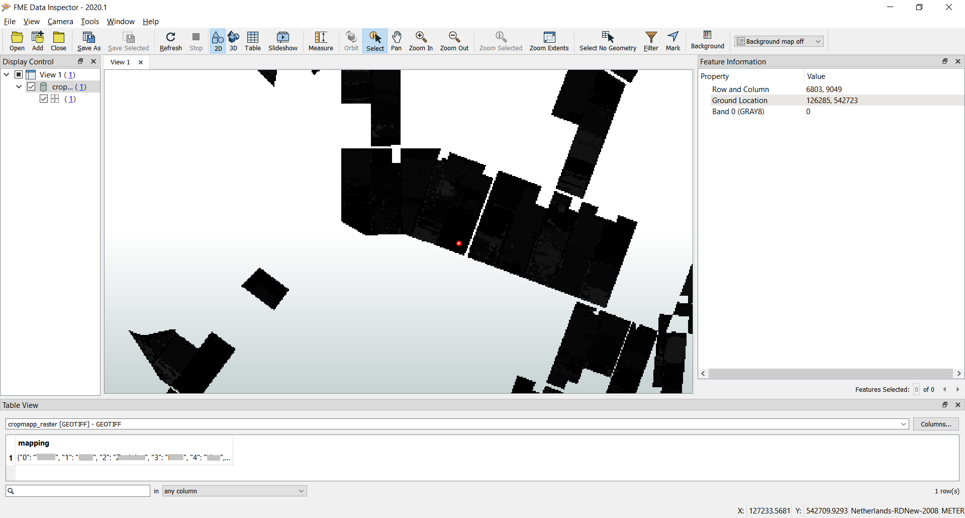
I have opened the GEOTIFF file in Data Inspector (see screen capture below) and I do see the mapping attribute, containing a list with all the values.

So, I somehow 1) need to read out these values from the mapping attibute and 2) replace the band values with the textual value.


Sure FME can do this, but I did not yet figure out how... 😃


Any help will be appriciated.


TIA,


Egge-Jan
Untitled

@egge​ What's the output that you want? Most raster formats do not handle a string value. FME can add a string to a raster but in most cases wouldn't have anywhere for it go...


Hi @Mark Stoakes​ ,


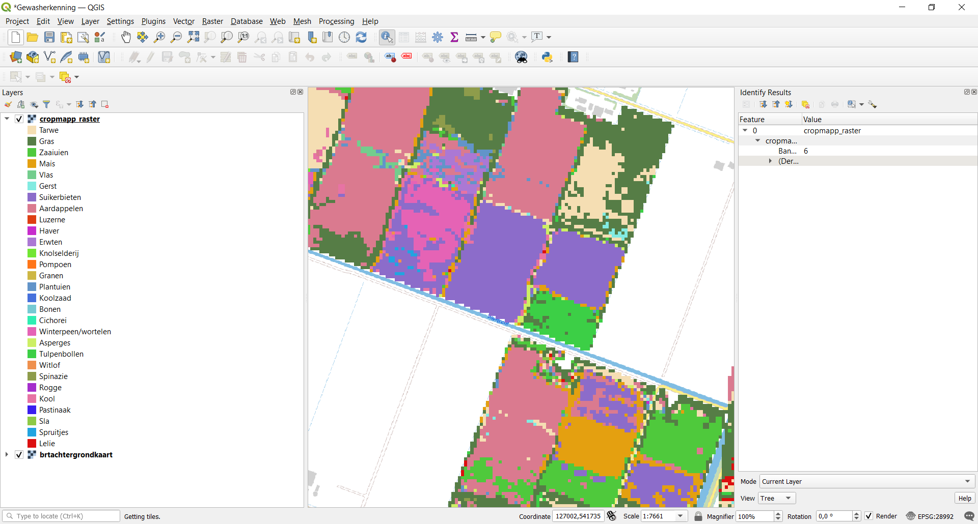
Tnx for your swift reply. Yes, I can explain where I want to go. I want to visualize the raster with a clear legend, more or less like shown in the screen capture below.

To accomplish this - using QGIS - I applied symbology to the the raster, but then the legend showed values 0 to 28 and I had to - manually!! - replace these with the 28 values. (Did not find a way to read out the values in the mapping... 😞 )

So, I want to 1) recolor the raster and 2) assign the textual values to the cells. I guess it should be done somewhere between the Extract and Load steps, in the Transform phase of the process, right?


Capture

@egge​ this looks like something you have to do in QGIS. FME can easily use a lookup table (DatabaseJoiner), but I don't think you can save those values in the raster. It seems to me that it's QGIS that needs to be able to read the lookup table for the legend.


Reply