Hi,
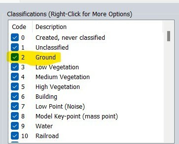
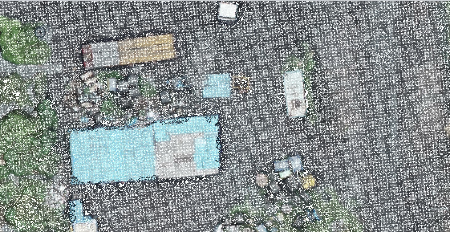
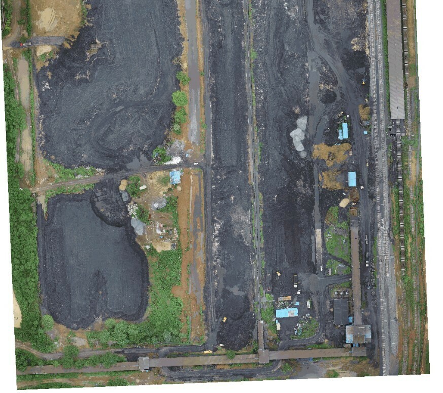
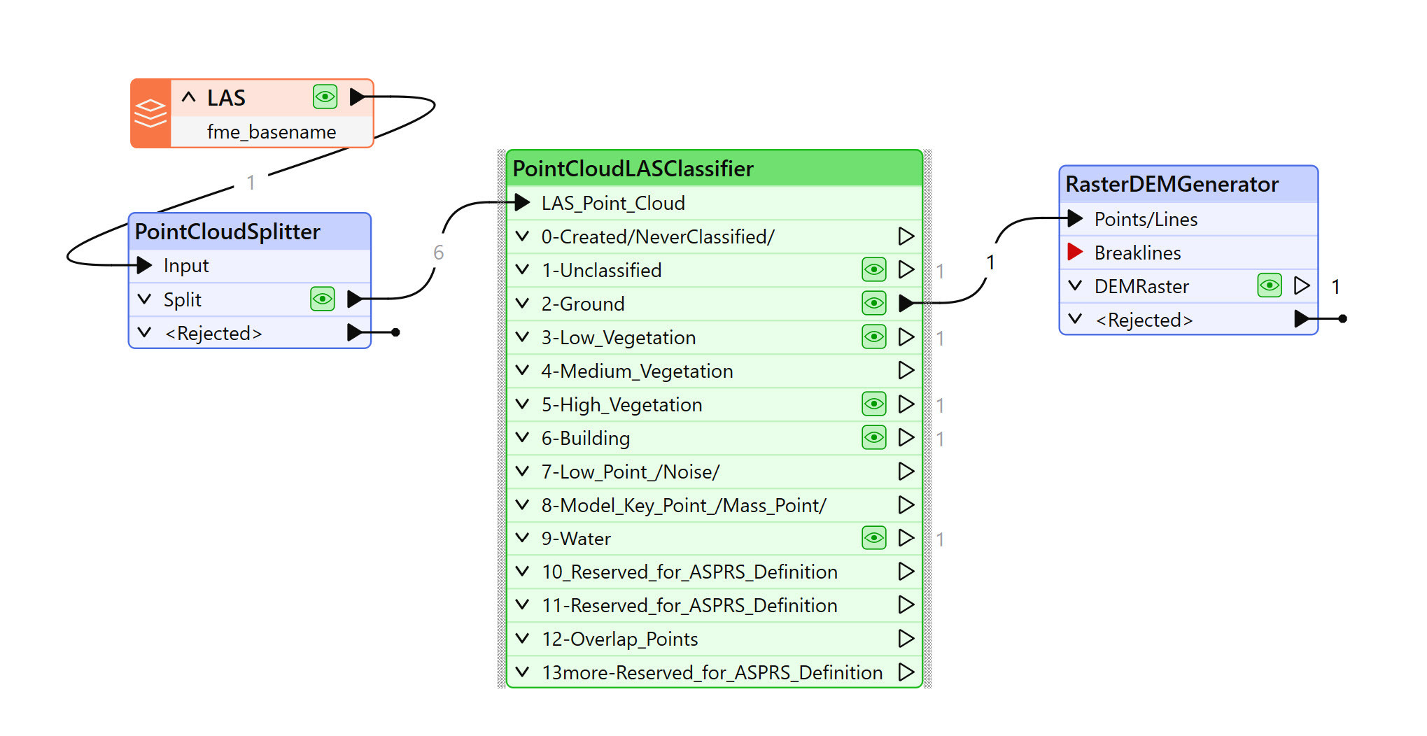
I'm attempting to classify the ground from point cloud data using FME transformers, but I haven't been able to achieve the expected results. Could you please provide a detailed workflow for ground classification in FME? I specifically want to generate a Digital Terrain Model (DTM) of the ground, excluding other features.
Thanks!


