Hello,
I have a shapefile with various polygons on land parcels. I've been tasked figure out the dimensions of the polygons and display them on a map for engineers and planners to examine.
How would I go about this using FME 2018.1?
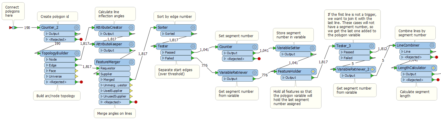
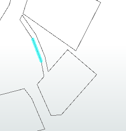
Since some of the polygons have curves, I figured I would use the PolylineAnalyser tool from the Hub and use the Segment output. Then use the Sorter to first sort by the ObjectID and then by the angle of the segment. Then I wanted to merge line segments that are within a 2-3 degrees range of each other so I would get a continuous line, instead of a bunch of small lines to make up a side of a polygon.
Perhaps I'm going about this entirely wrong and there is an easier way to do this. Any help would be appreciated.
Thank you


")