Hi @mapperz
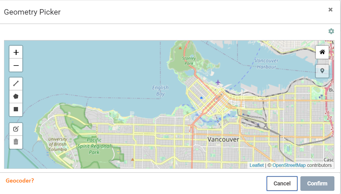
There isn't a way to connect a geocoder to the geometry picker tool, however you can set map extents when you're configuring the app. This wouldn't help if you had users in both Toronto and Vancouver though, they would have to zoom in to either location.
I think if you wanted to do something like this, you'd have to write your own app and use something like leaflet or openlayers to work with a geocoder. Or you could duplicate the same FME Server Apps and change the map extents and give them to users in different locations.
Thanks for the quick reply, we will see if we can get time to develop an openlayers solution and do a FME Server REST API request as this is to locate the user (can be anywhere in Canada) and pull data from an oracle spatial database and retrieve data within that area of interest. The FME Server App is quick to deploy, just users feedback is to do more.
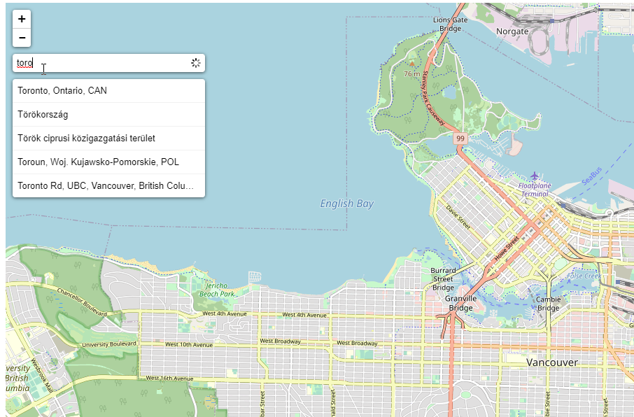
Building on @jlutherthomas's answer, if you would like to see something like the leaflet search or geosearch functionality in the geometry picker, please submit this as an Idea so other users can upvote and add their use cases as well.
Additionally, if you are just wanting to locate the user, using the "zoom home" button will zoom to the users current location (assuming location access has been granted on the users device)
Great idea @mapperz!
Hi @mapperz
There isn't a way to connect a geocoder to the geometry picker tool, however you can set map extents when you're configuring the app. This wouldn't help if you had users in both Toronto and Vancouver though, they would have to zoom in to either location.
I think if you wanted to do something like this, you'd have to write your own app and use something like leaflet or openlayers to work with a geocoder. Or you could duplicate the same FME Server Apps and change the map extents and give them to users in different locations.
Placed an idea, https://knowledge.safe.com/idea/112968/geocoder-for-fme-server-apps-2020.html? please vote if you think this would be useful.
Voted on your idea @mapperz and I was wondering what is the implementation status for this idea.
I frequently get the comments from users that they miss a geo search functionality in the geometry picker.
As an adjunct to this, I built a RESTful geocoder/reverse-geocoder workspace 18 months ago - to access Queensland Government's GeoCoding Service.
This was hosted on FMEServer 2018 and was called on demand by a GeoCortex workflow.
In a nutshell it; built and issued a request, fetched matching records (we set a limit of 500 properties), fixed a raft of attribution issues and returned the results to GeoCortex (all in 1-2 seconds).
I have also implemented and used the OSM Geocoder - within LeafletJS.