Hello,

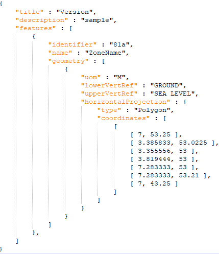
How extract the geoJSON geometry from the attached complex JSON file?

The data model is a new one. So the supplementary attributes before "horizontalProjection" are right.

The goal is to display the shape of thousands other surfaces for verification.

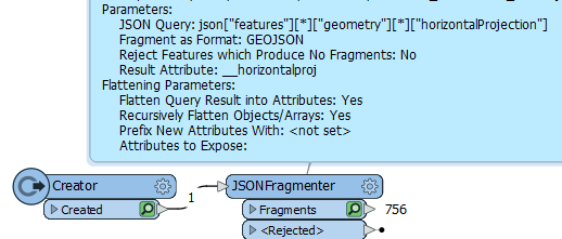
Here is the code :
imageThanks for any information that could help.

To get the to coordinates the JSONExtractor should take care of the job. This JSON Query returns the coordinates json["features"]

  • ["geometry"]
  • ["horizontalProjection"]["coordinates"]


  • Thank you @bradleyp​ .

    Here is the result for the community :

    image


    but there is several features in the JSON file (see attached file) and all the extracted values are merged in the same attribute instead of a for each one.

    So, I try this and I get the shape drawn of each one but without identifier :

    image


    but there is several features in the JSON file (see attached file) and all the extracted values are merged in the same attribute instead of a for each one.

    So, I try this and I get the shape drawn of each one but without identifier :

    image

    and there could be several geometries per feature not encoded with multipolygon.

    So more tricky.


    Fun. My approach would be to first fragment the JSON (JSONFramenter) into features and the use the JSON Extractor to pull the needed attributes out of each feature. I've attached an example. My first time hopefully it works.😉


    Reply