Hello,
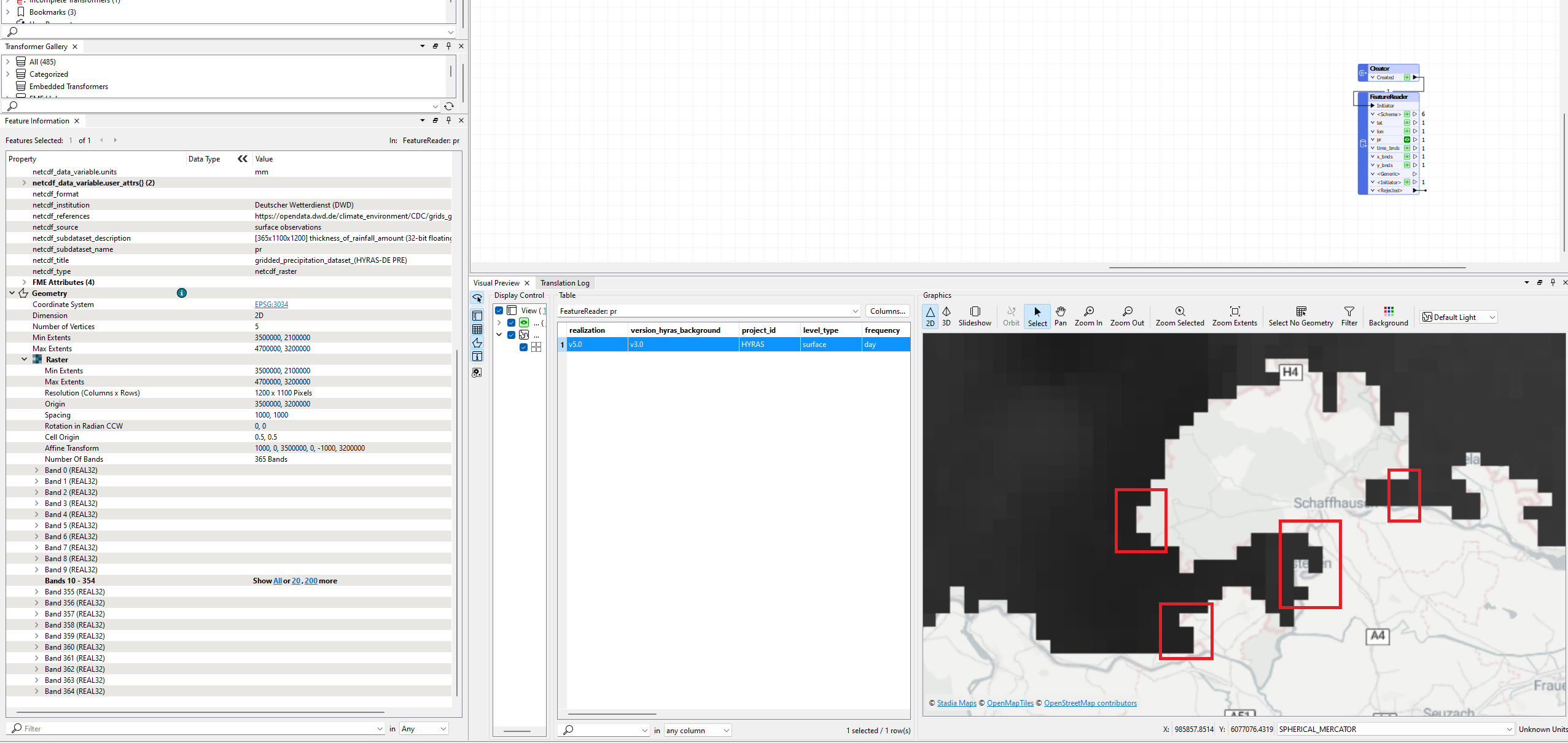
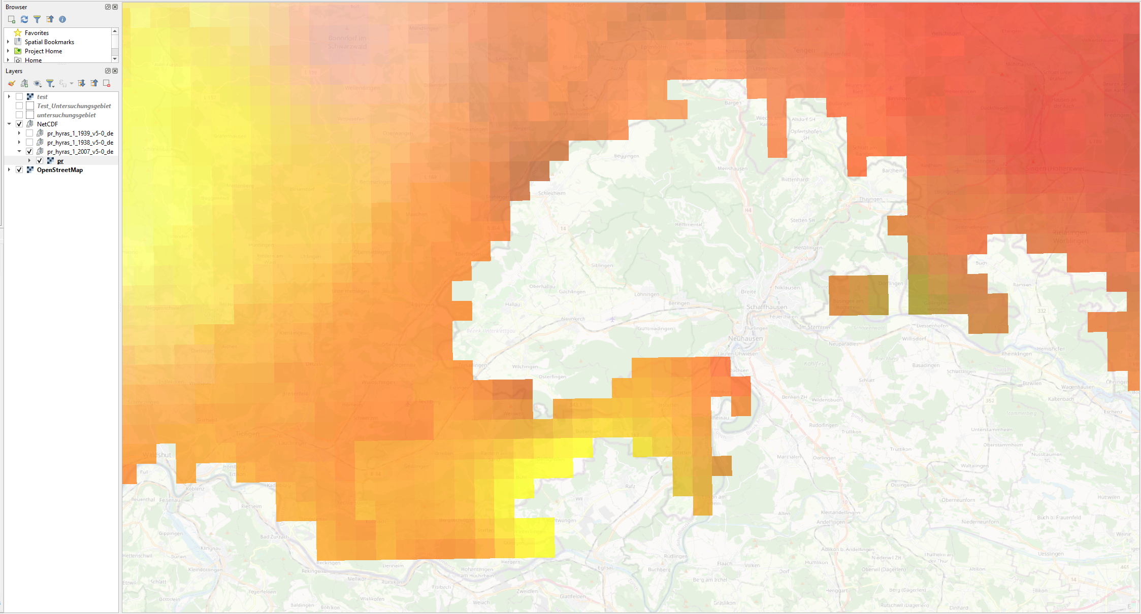
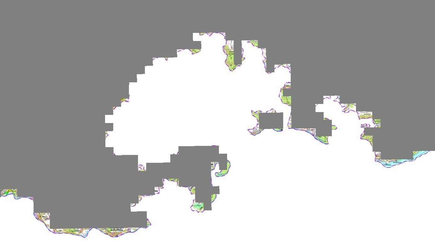
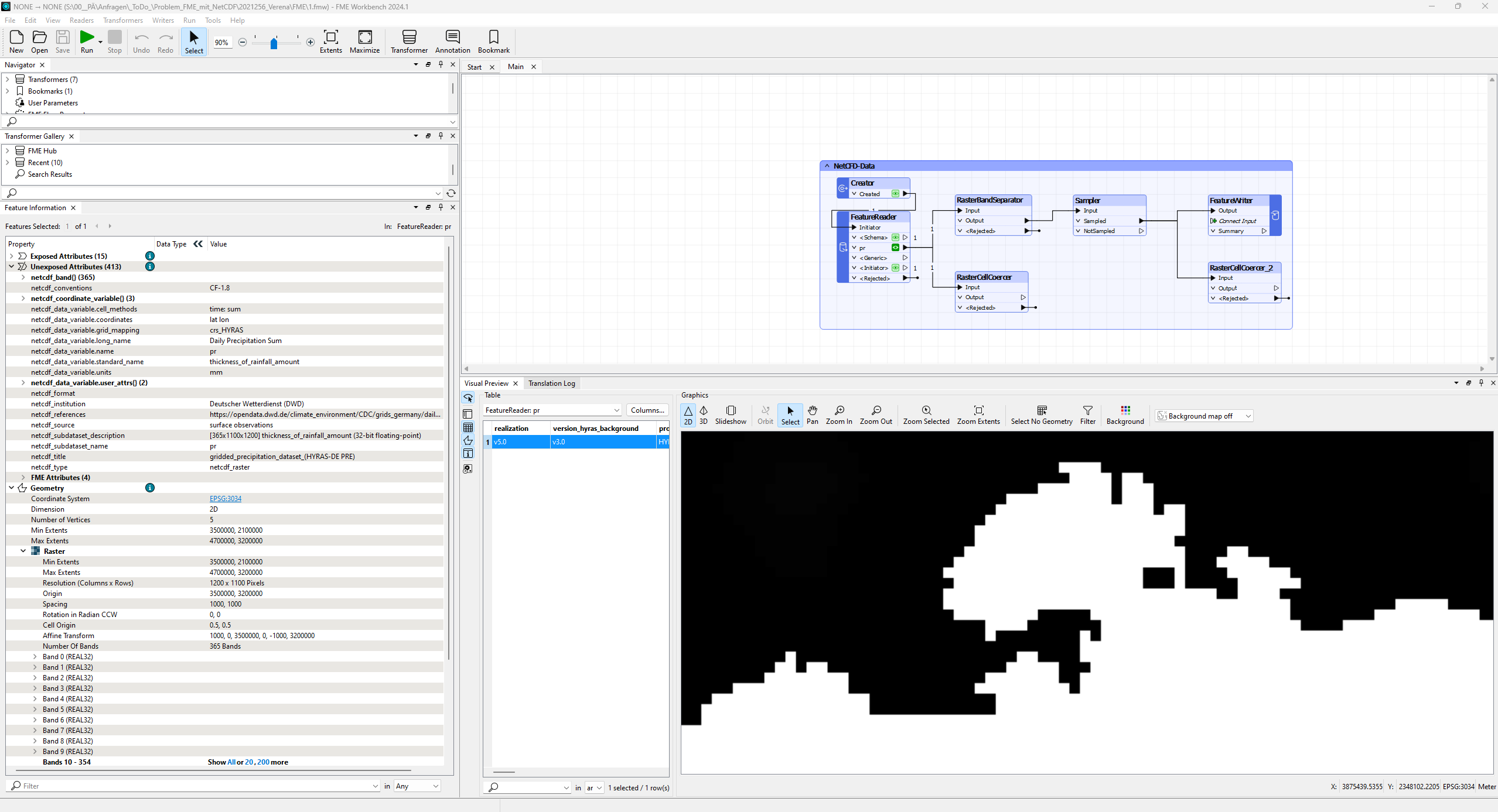
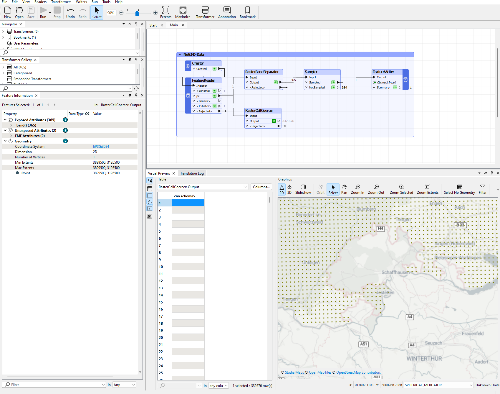
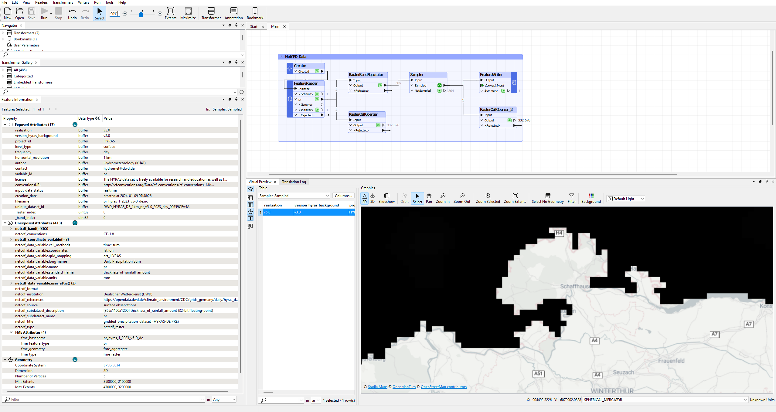
i’ve recently worked with a raster from a NetCDF file and noticed, that loading the raster in FME gives a different raster than loading it in QGIS or ArcGIS-Pro (see Screenshots).
Data can be found here: https://opendata.dwd.de/climate_environment/CDC/grids_germany/daily/hyras_de/precipitation/
My question is why? Has anyone experienced this behavior before?
