Hy Guys
I need to identify and remove dangle geo of a netw
To be clear I need to remove all blue geo in the bmp attached.
I tried some workaround with coordinates but no success
Francesco

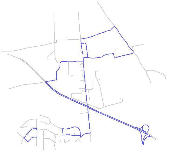
Hy Guys
I need to identify and remove dangle geo of a netw
To be clear I need to remove all blue geo in the bmp attached.
I tried some workaround with coordinates but no success
Francesco
Enter your E-mail address. We'll send you an e-mail with instructions to reset your password.