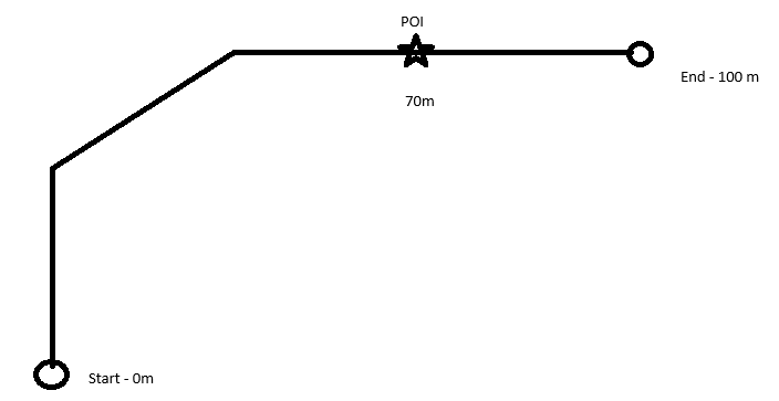
So, in the context of pipelines we run camera inspections registering different damages and features along the pipeline. We have registered pipelines by ID in a larger gis database. I already have a script running that reads the information and returns all the registerd freatures in the camera inspections and draws it in a arcgis. The issue is that sometimes the lines have bends even with the same ID. making it hard to create new points at the specified distance.
So what i need is something that creates a point at a specific length from the starting point ID, that takes into account the geometric changes of the line.
in the example picture under, i want to draw a point at the POI. I have the distance(70m) from start. But there does not seem to be obvious functionality for this in FME. Any ideas?


