Question

Create labels for X and Z axis in elevation profile grid

  • November 9, 2019
  • 1 reply
  • 36 views

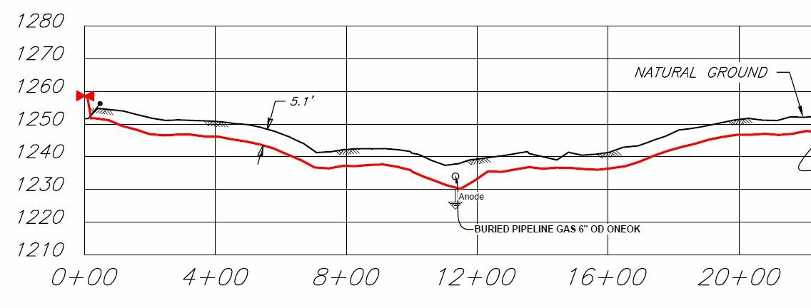
I am trying to label a grid I have created, the Y axis should be the elevation and the X axis is the station along the centerline.

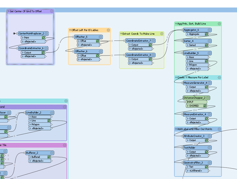
I have the above grid writing to model space in AutoCAD, I think I can get the labels on the X axis but the Y is proving more difficult here is what I am trying to do. See below.

This post is closed to further activity.
It may be an old question, an answered question, an implemented idea, or a notification-only post.
Please check post dates before relying on any information in a question or answer.
For follow-up or related questions, please post a new question or idea.
If there is a genuine update to be made, please contact us and request that the post is reopened.

1 reply

  • Author
  • 57 replies
  • November 11, 2019

I created point in center, offset the necessary distance left and then created vertical line, after that I chop and label segment, I think there may be shorter way to get here but this is route I took. I attach workspace in case someone also need to do something like this.


sheetsandprofiles.fmwt