Hey there,
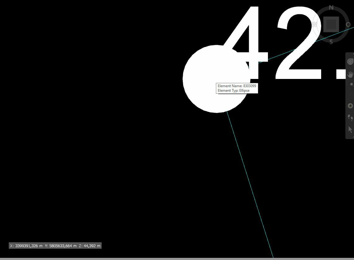
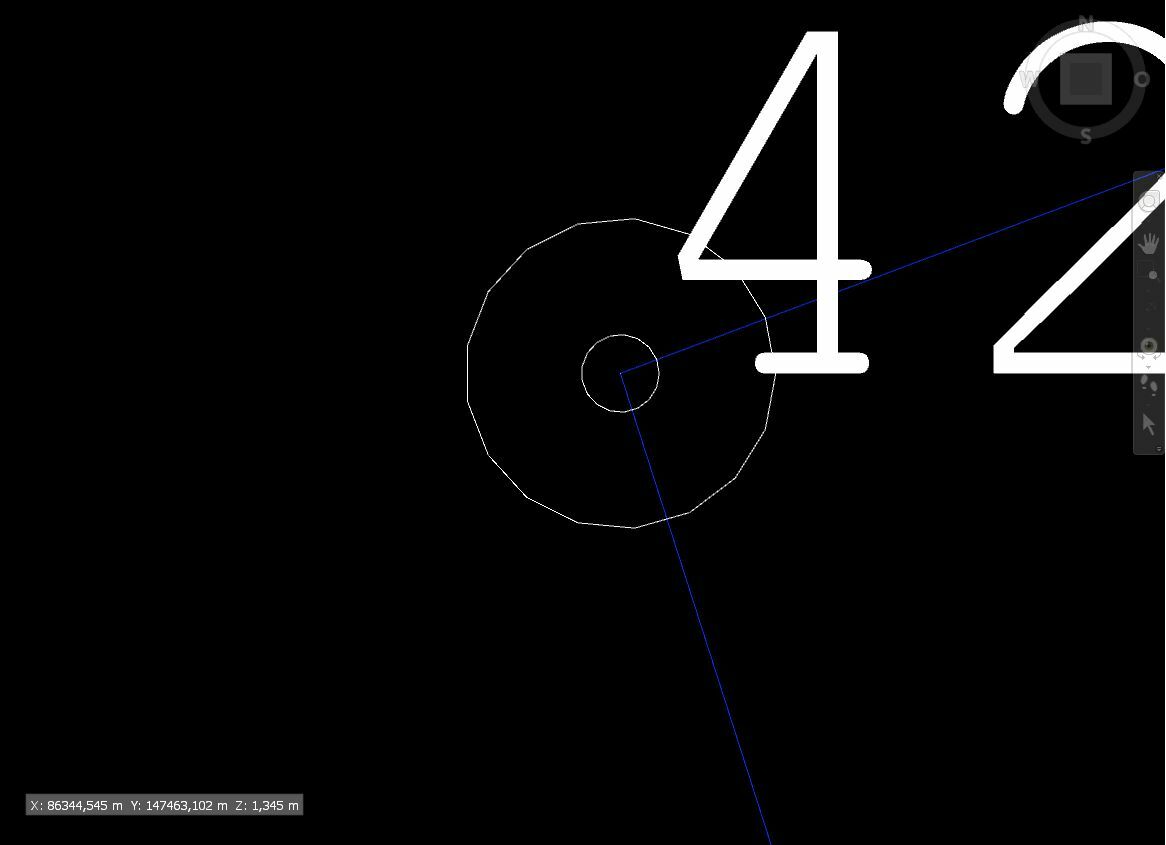
I'm trying to convert Microstation DGN files into DWG to use them in Revit. Unfortunately the coordinates change a lot while doing so (see attached) and I can't make out why? Anyone got any idea why that is?
I tried auto selected coordinate system as well as manually selected.
DGN
DWG


