I'm reading and writing LAS files. There are warnings in the log files about X,Y,Z and being converted from Real64 to int32. How do I tell (with confidence) if this is important? Are the numbers being changed in a way that meaningfully changes the result?
LAS writer: Converting component 'x' from type 'Real64' to 'Int32'.  If this conversion is undesired, consider changing the type explicitly
LAS writer: Converting component 'y' from type 'Real64' to 'Int32'.  If this conversion is undesired, consider changing the type explicitly
LAS writer: Converting component 'z' from type 'Real64' to 'Int32'.  If this conversion is undesired, consider changing the type explicitly
https://knowledge.safe.com/questions/47749/combine-tilling-and-compress-las-files-without-con.html has a recipe for counter-acting the conversion, but it's not clear to me if that is needed. That discussion links to another page that says only int32 supported in the output format. If that's the case then why go through the extra work?
I guess the question behind the question is: why is FME using Real64 at all if it's not supported?
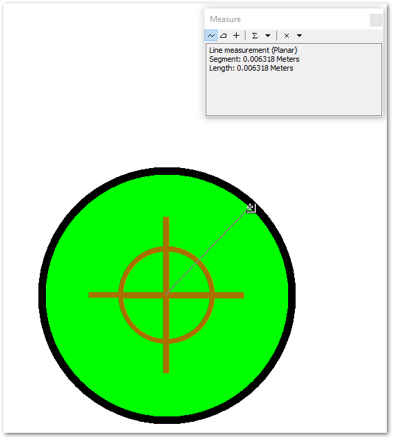
ArcMap considers the points identical.
ArcMap before and after overlay of a LAS point. View scale 1:0.13. Distance from center to exterior of symbol is 0.006 meters. No measurable difference in point position.


