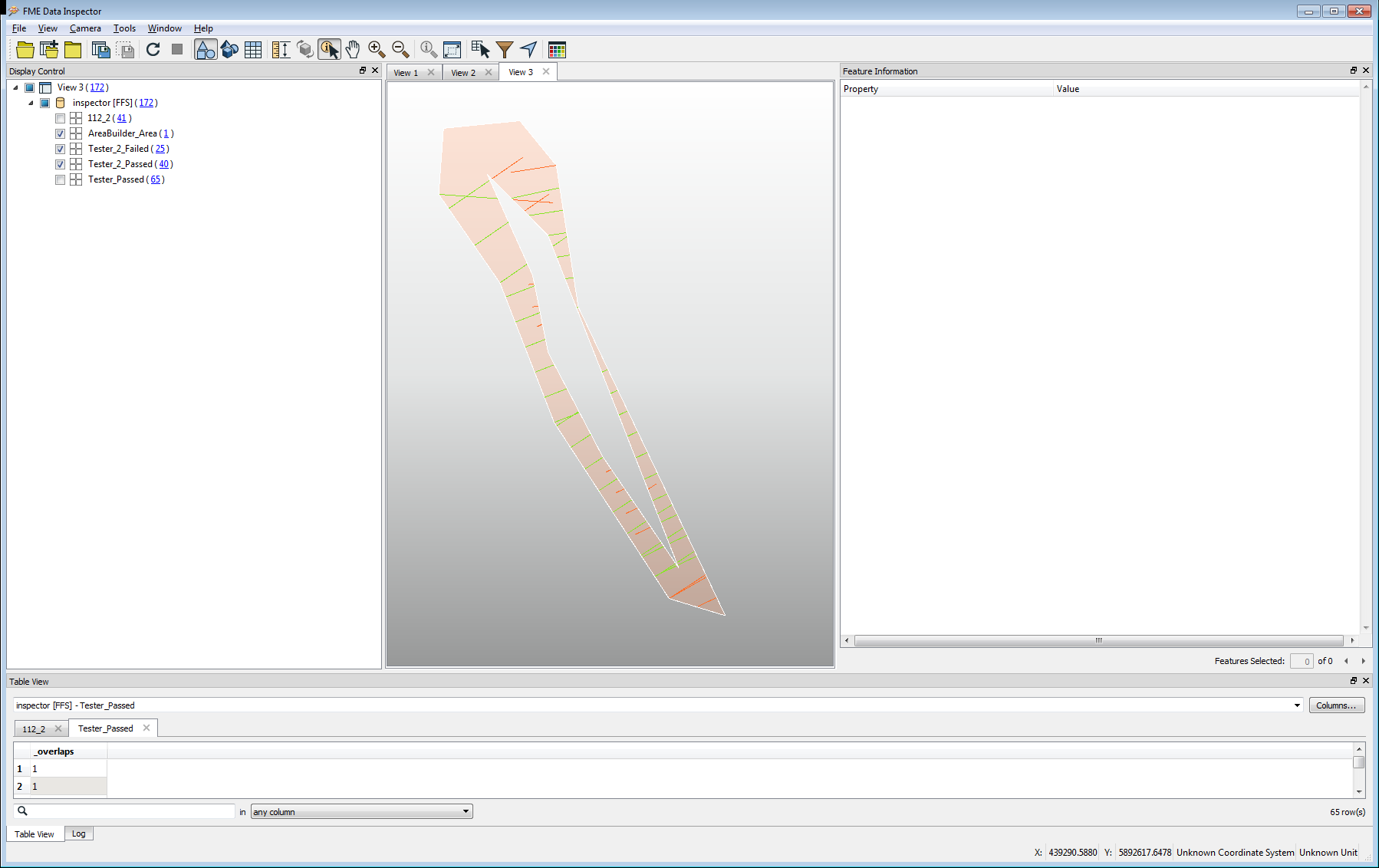
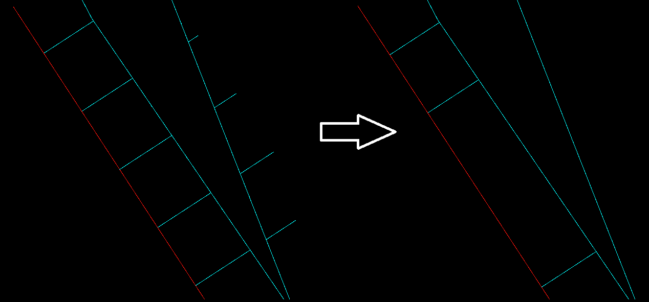
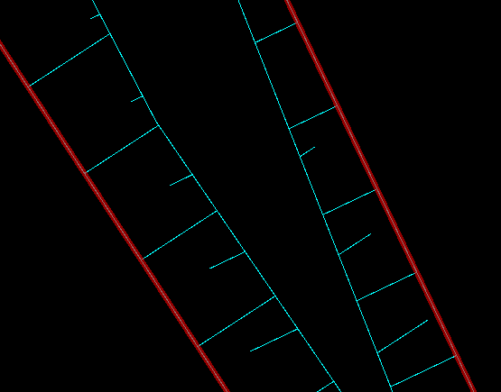
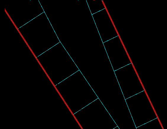
Hello! I used Clipper to divide the lines with the areas. In some places as a result of "outside" I got lines consisting of two elements.
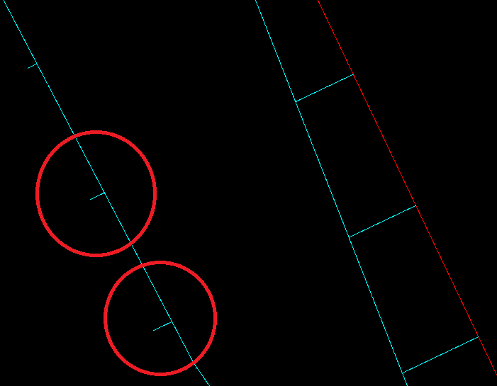
How can I remove parts of lines that do not get red line? I used Chopper to separate the lines and then I wanted to filter the data through Spatial Filter (by "filter intersects candidate" where Filter is a red line) but it doesn't take into account Chopper's separation..
Thanks for your help