I'm finding that artifacts are being introduced in polygons created using a dissolver then aggregator.
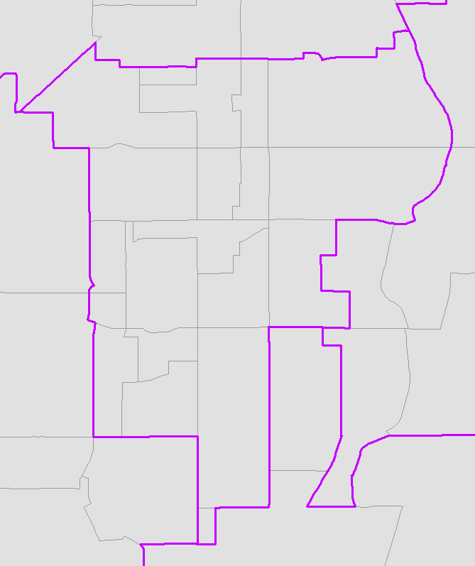
Here's the boundary I can get with the ArcGIS dissolve tool:

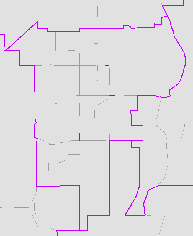
However, using an FME dissolver > aggregator, basing the grouping on the same fields, I get artifacts introduced at the borders of the input polygons:

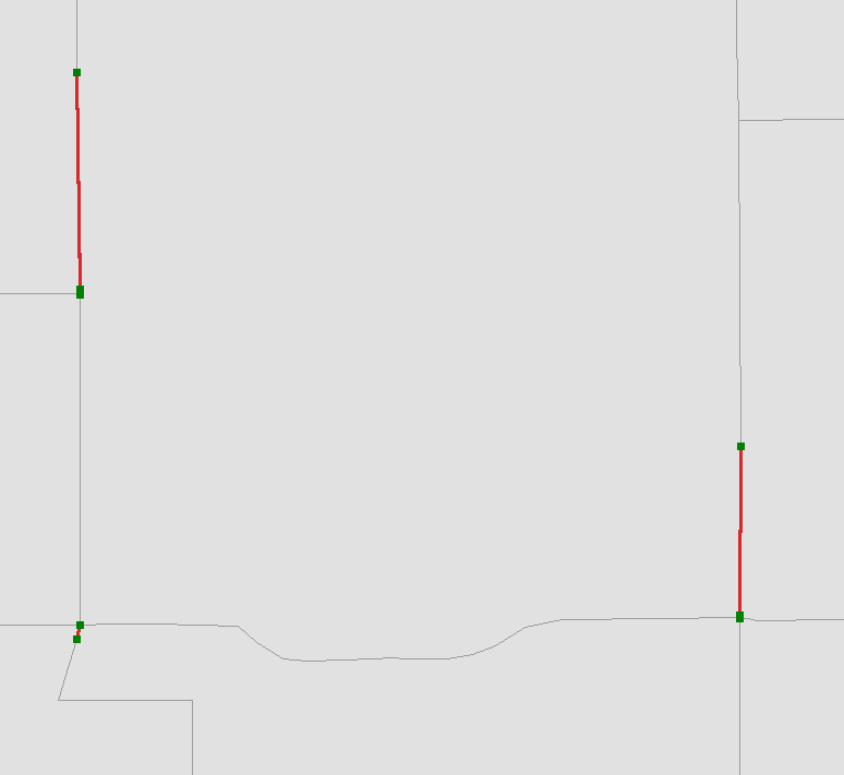
A closer look at the polygons during an edit session:

We're not sure how these are getting created as our polygons have gone through the ArcGIS topology tools, and do not have gaps.
Any guidance appreciated!
Thank you!!!
-mb


