
Question
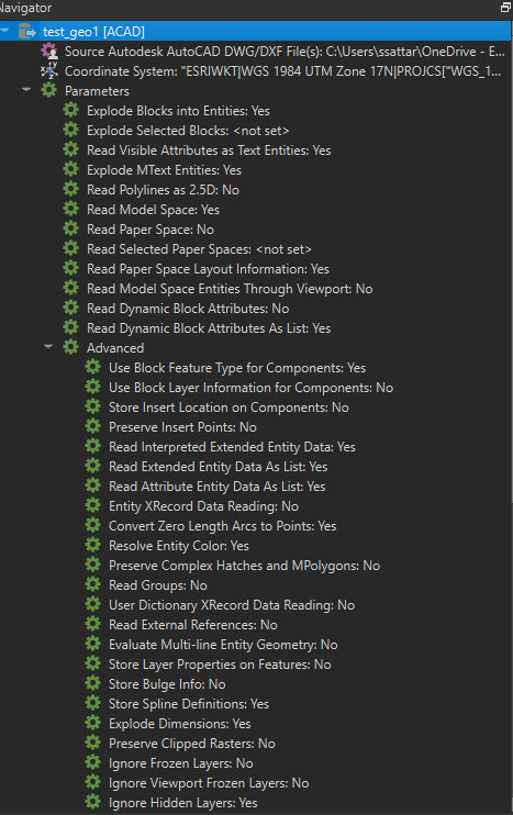
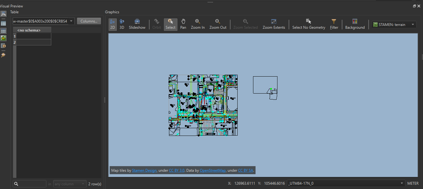
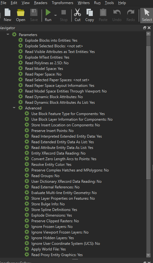
After georeferencing CAD in ArcGIS Pro, generating World (wld3) and Projection files (prj), FME doesn't position the drawings correctly despite enabling advanced options. Why?
After georeferencing CAD in ArcGIS Pro, generating World (wld3) and Projection files (prj), FME doesn't position the drawings correctly despite enabling advanced options. Why?


Login to the community
No account yet? Create an account
An FME Account is required to contribute
LoginEnter your E-mail address. We'll send you an e-mail with instructions to reset your password.