


Hi all, I have two geopackage files in QGIS: One of them a multipolygon with coverage tree and the second one a multipolygon with the plots. Im looking to calculate the afforestation rate by plots, that's means the percent of total plot surface that's covered by the tree layer and add this afforestation rate as a attribute in plot layer
As you see in the image below, in green I have the coverage tree and the lines show the plots limits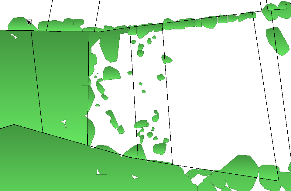
Thanks you all
Pablo

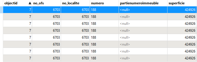 I would have expected that within a parcel there would be only one entity.


