Hi,
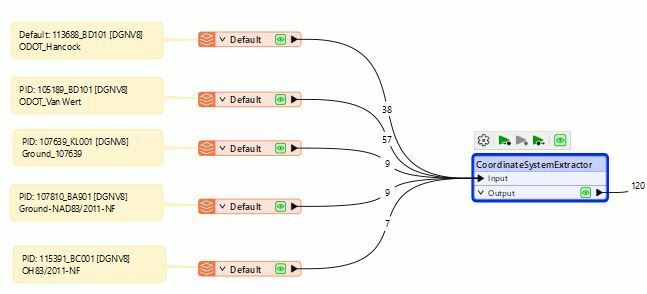
We have an assignment where we are using FME Form 2024 version to convert a DGN file to a GIS format. For us to do it, the design file (DGN) needs to be reprojected and scaled to Web Mercator coordinates. I am not a designer, but a developer and learning about the DGN files as I go. The designers using Bentley’s Micro station tool.
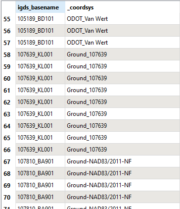
Using MicroStation V8 reader, reads the “Name” associated with the coordinate system, which is a free form field and can contain a name that the project designer puts in manually and is not a standard naming conversion.
We are trying to read more information from the properties of the coordinate systems like the “Description”, “Affine parameters”. The description field contains standardized naming that we could use since it is not editable by the project designer. The Affine parameters define the scale factor that will be used to convert from ground to grid coordinates.
Need help in identifying how this can be read through the MicroStation reader or any other transformers.
Attached document has some screen shots of the coordinate system associate with each DGN using the Bentley’s ORD tool.
Thank you,
Lavanya.


