


Add Writer for ArcGIS Pro Layer (.lyrx) format.

Open
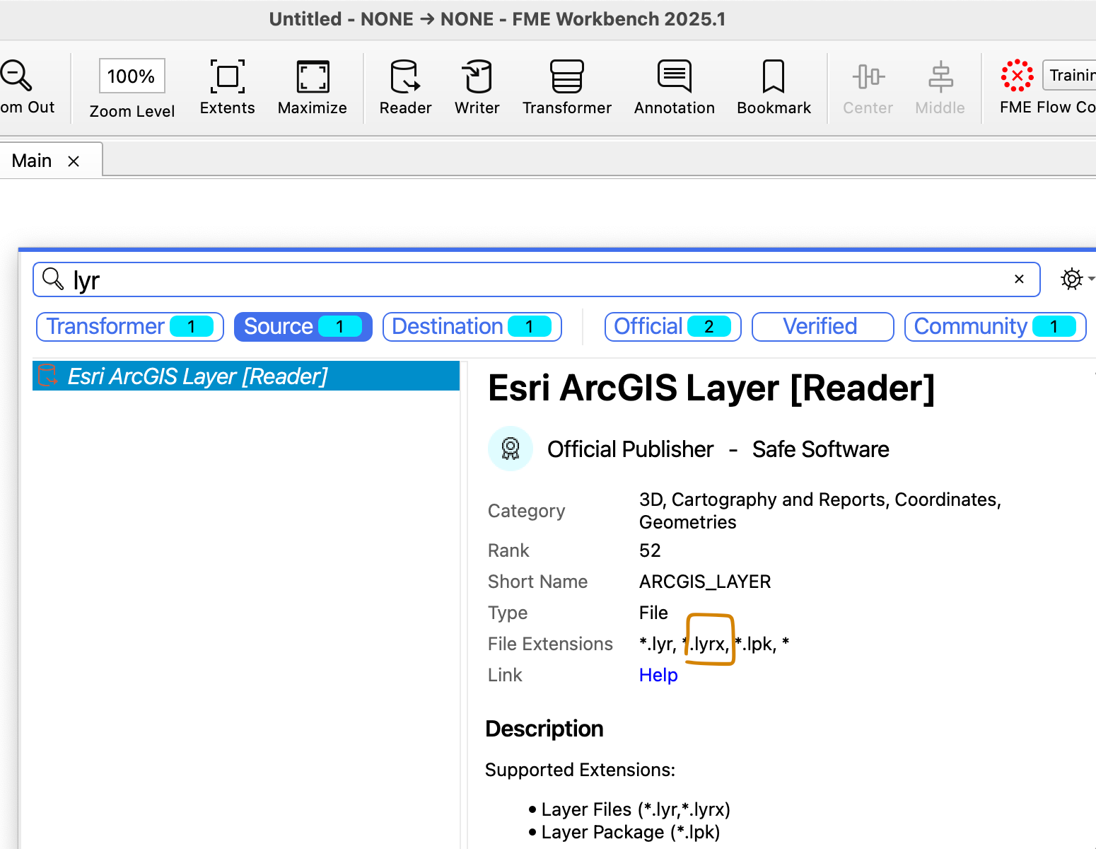
New Writer: ArcGIS Pro Layer (.lyrx)


Login to the community
No account yet? Create an account
An FME Account is required to contribute
LoginEnter your E-mail address. We'll send you an e-mail with instructions to reset your password.